Dolomites Hiking Map

Dolomites Hiking Map

Explore hiking trails and mountain huts across the Italian Dolomites

★★★★★ 4.7/5 · 400+ Verified Reviews
Updated on October 10, 2026

The Dolomites on an interactive map

The Dolomites are a mountain range in northeastern Italy, stretching across the provinces of Belluno, South Tyrol, and Trentino. Designated a UNESCO World Heritage Site in 2009, they are famous for their pale limestone towers, dramatic vertical walls, and some of the most scenic hiking in the Alps. The range sits between the Adige River to the west and the Piave Valley to the east, roughly two hours north of Venice by car.

The Dolomites are laced with over 350 mountain huts (rifugi) connected by a network of marked trails that let you trek for days without ever pitching a tent. Hut to hut hiking in the Dolomites means walking 5 to 8 hours a day between staffed refuges that serve hot meals, provide bunk beds, and sit at altitudes between 1,800 m5,906 ft and 2,800 m9,186 ft. You carry only a daypack. The hut system handles the rest.
Ready to hike?
START PLANNING

We organize the logistics so you can focus on the trail. Get in touch with our experts today.

Hugo - Hiking Expert
Hugo

Direct contact with local Dolomites experts

★★★★★ 4.7/5 · 400+ Verified Reviews

Set up the map

I'm looking for around

Show on the map

The hikes
Day hikes Alta Via 1 (9-day trek) Alta Via 1 stages
Sleep and find your way
Elevation profile of the selected hike, indicative.

Pick a hike in the list or on the map to see its elevation profile.

Indicative elevation profile, from the GPS track or a terrain model.

  1. Distance
    117,6 km73.1 mi
    Gain
    6 660 m21,850 ft
    Loss
    7 570 m24,836 ft
    Time
    9 days
  2. Distance
    8,3 km5.2 mi
    Gain
    345 m1,132 ft
    Loss
    345 m1,132 ft
    Level
    Easy
    View itinerary
  3. Distance
    12,6 km7.8 mi
    Gain
    630 m2,067 ft
    Loss
    620 m2,034 ft
    Level
    Medium
    View itinerary
  4. Distance
    6,8 km4.2 mi
    Gain
    150 m492 ft
    Loss
    150 m492 ft
    Level
    Easy
    View itinerary
  5. Distance
    10 km6.2 mi
    Gain
    400 m1,312 ft
    Loss
    400 m1,312 ft
    Level
    Medium
    View itinerary
  6. Distance
    15 km9.3 mi
    Gain
    450 m1,476 ft
    Loss
    450 m1,476 ft
    Level
    Medium
    View itinerary
  7. Distance
    4 km2.5 mi
    Gain
    260 m853 ft
    Loss
    270 m886 ft
    Level
    Medium
    View itinerary
  8. Distance
    13 km8.1 mi
    Gain
    861 m2,825 ft
    Loss
    860 m2,822 ft
    Level
    Hard
    View itinerary
  9. Distance
    14,6 km9.1 mi
    Gain
    681 m2,234 ft
    Loss
    683 m2,241 ft
    Level
    Medium
    View itinerary
  10. Distance
    9,6 km6.0 mi
    Gain
    451 m1,480 ft
    Loss
    448 m1,470 ft
    Level
    Medium
    View itinerary

Our Dolomites trips

Our Dolomites trips, self-guided or with a mountain guide, if you'd rather hand over the bookings and the logistics.

With a guide (5)

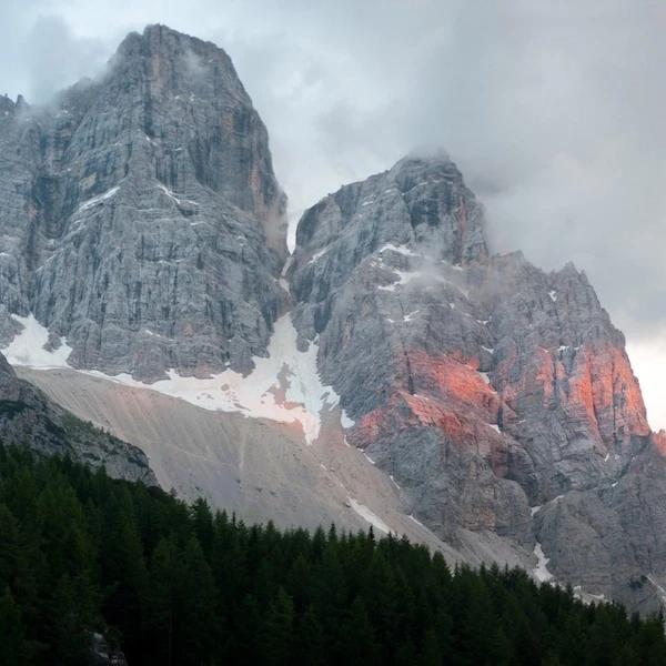
Massive Dolomite rock towers with patches of snow and pink alpenglow catching the cliffs above a dark conifer forest
7 days
Medium
Guided

Guided Alta Via 1

Seven days on the classic Alta Via 1 from Falzarego Pass to Passo Duran. Cinque Torri, Croda da Lago, Mont Pelmo, and the Civetta massif with an EU-certified guide and full board throughout.

Distance
68 km42.3 mi
Elevation+
3 690 m12,106 ft
Elevation-
3 710 m12,172 ft
from 2,500 €2,900 $/personView tour
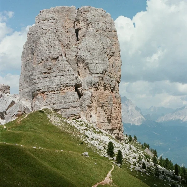
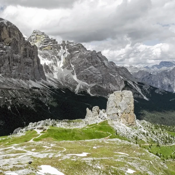
Cinque Torri rock towers standing on a green alpine plateau with the Tofane massif and distant Dolomite ranges behind under dramatic clouds
7 days
Easy
Guided

Guided Dolomites - Women Only

A seven-day women-only guided hiking week around Cortina d'Ampezzo, led by a female EU-certified guide. Cinque Torri, Tre Cime, Lake Sorapis, and the Tofane massif - hotel-based with all transfers.

Distance
53 km32.9 mi
Elevation+
2 023 m6,637 ft
Elevation-
3 168 m10,394 ft
from 3,550 €4,118 $/personView tour
The three towers of Tre Cime di Lavaredo seen from a green alpine meadow with a hiking trail and scattered rocks under blue sky
7 days
Easy
Guided

Guided Hiking in the Dolomites

Seven days of guided hiking around Cortina d'Ampezzo, visiting Cinque Torri, the Tofane massif, Tre Cime di Lavaredo, and Lake Sorapis. Hotel-based with half-board and all transfers included.

Distance
53 km32.9 mi
Elevation+
2 023 m6,637 ft
Elevation-
3 168 m10,394 ft
from 3,550 €4,118 $/personView tour
Yellow wildflower meadow with the Lavarella massif and green alpine hills of the Dolomites under a cloudy sky
11 days
Medium
Guided

Grande Traverse: Verona to Venice

An 11-day guided traverse from Verona to Venice through the heart of the Dolomites. Rosengarten, Alpe di Siusi, Puez-Odle, Lagazuoi, and Tre Cime di Lavaredo - refuges throughout with cultural city bookends.

Distance
107 km66.5 mi
Elevation+
6 910 m22,671 ft
Elevation-
5 500 m18,045 ft
from 3,170 €3,677 $/personView tour
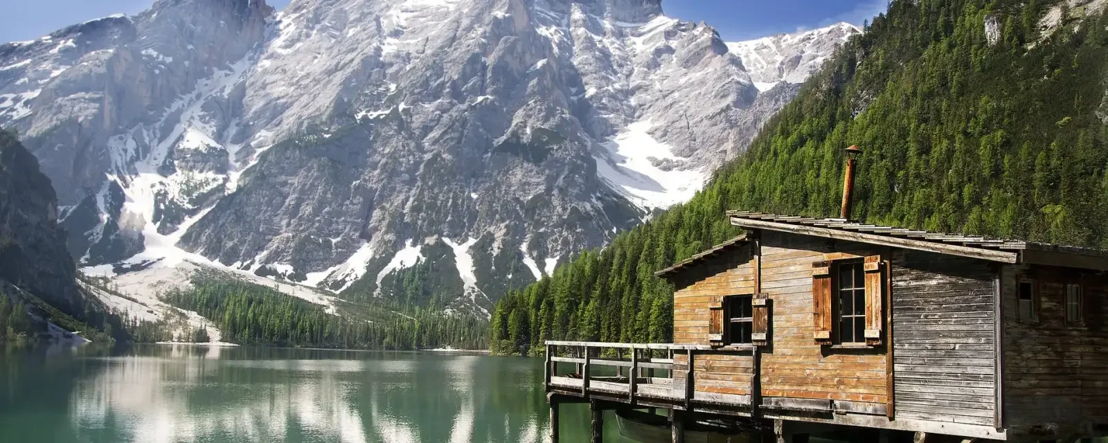
Wooden boathouse on stilts over the emerald waters of Lago di Braies with the snow-streaked Croda del Becco peak and conifer forest behind
14 days
Hard
Guided

Guided Munich to Venice

A 14-day guided walk from Munich to Venice through Germany, Austria, and Italy. Neuschwanstein, Krimml Waterfall, Hohe Tauern, Lago di Braies, Tre Cime, and Venice - three countries on foot.

Distance
147 km91.3 mi
Elevation+
8 135 m26,690 ft
Elevation-
7 040 m23,097 ft
from 5,835 €6,769 $/personView tour

Dolomites Hiking Itineraries

Day hikes, multi-day treks, and hut to hut routes across the Dolomites - with real trail data, not brochure copy.

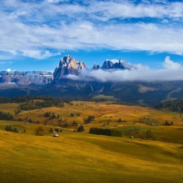
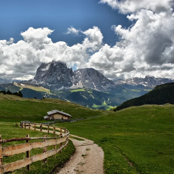
Wide angle view of the Alpe di Siusi (Seiser Alm) meadows with the Sciliar mountain
Day Hike
Medium

Alpe di Siusi

Experience the Alpe di Siusi (Seiser Alm), Europe's largest high-altitude alpine meadow. The Panorama Traverse offers a gentle yet spectacular circuit through emerald pastures, framed by the anvil-shaped Sciliar and the towering spires of the Sassolungo. Perfect for photographers and families alike.

Distance
15 km9.3 mi
Gain
450 m1,476 ft
Loss
450 m1,476 ft
View Itinerary
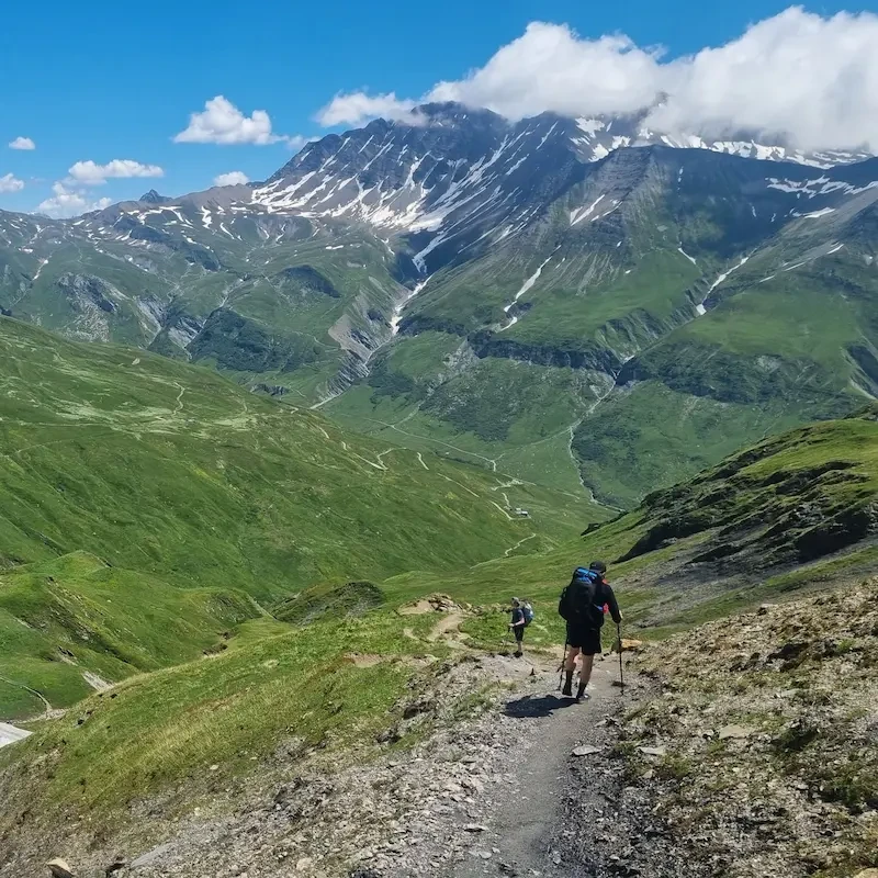
Hiker on mountain trail with jagged Dolomite peaks in background
9 Days
Hard

Alta Via 1

The definitive multi-day journey across the heart of the Dolomites. Spanning 118 km73.3 mi of rugged limestone terrain, this classic trek takes you from the emerald waters of Lago di Braies to the historic streets of Belluno, staying in world-class mountain huts along the way.

Distance
117,6 km73.1 mi
Gain
6 660 m21,850 ft
Loss
7 570 m24,836 ft
View Itinerary
The jagged five limestone pillars of Cinque Torri under a blue sky
Day Hike
Easy

Cinque Torri Loop & WWI Open Air Museum

Explore one of the most famous rock formations in the Dolomites. This guide covers the WWI trenches, the loop around the five towers, and the climb to the historic Rifugio Nuvolau.

Distance
8,3 km5.2 mi
Gain
345 m1,132 ft
Loss
345 m1,132 ft
View Itinerary
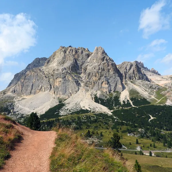
The Lagazuoi massif above the alpine pastures, seen from a trail on the Passo Falzarego side
Day Hike
Hard

Lagazuoi - Loop from Armentarola & Great War Tunnel

The walking loop from Armentarola via the Forcella Lagazuoi, the lake and Rifugio Scotoni, or the Passo Falzarego cable car and the descent through the Great War tunnel.

Distance
13 km8.1 mi
Gain
861 m2,825 ft
Loss
860 m2,822 ft
View Itinerary
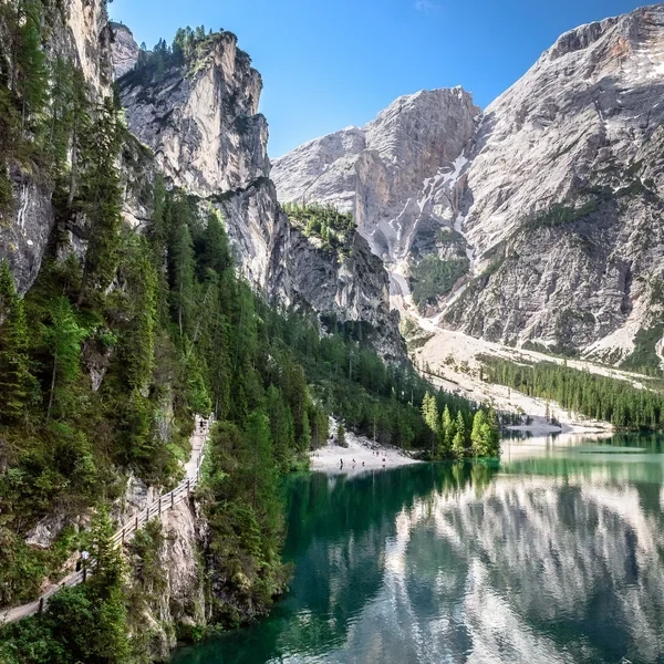
Aerial view of the turquoise Lago di Braies surrounded by dense pine forests and the Croda del Becco
Day Hike
Easy

Lago di Braies

Visit the most famous lake in the Italian Dolomites. This guide covers the essential shoreline loop, the easy hike to Malga Foresta, and the 2027 parking and shuttle regulations.

Distance
6,8 km4.2 mi
Gain
150 m492 ft
Loss
150 m492 ft
View Itinerary
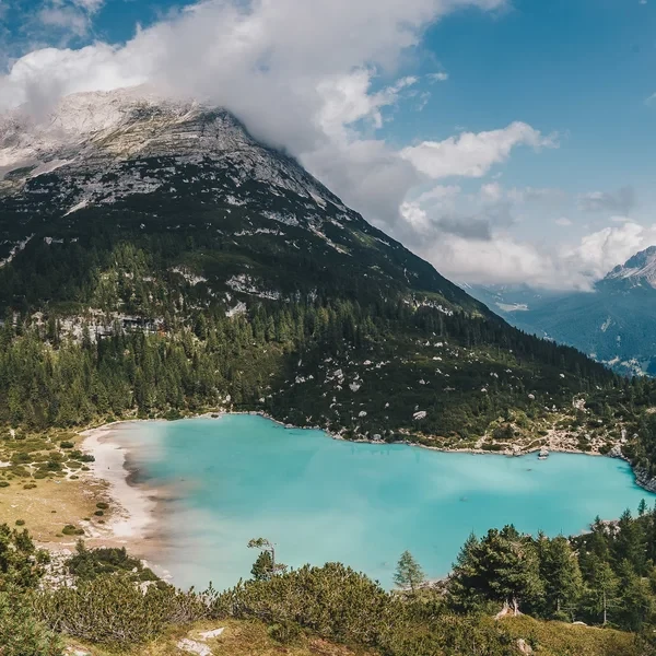
Turquoise glacial water of Lago di Sorapis with the Dito di Dio rock spire rising from the southeast shore
Day Hike
Medium

Lago di Sorapis

A glacial turquoise lake hidden beneath the Sorapis massif near Cortina d'Ampezzo. The trail from Passo Tre Croci crosses cable-aided rock traverses to reach one of the most photographed spots in the Dolomites.

Distance
12,6 km7.8 mi
Gain
630 m2,067 ft
Loss
620 m2,034 ft
View Itinerary
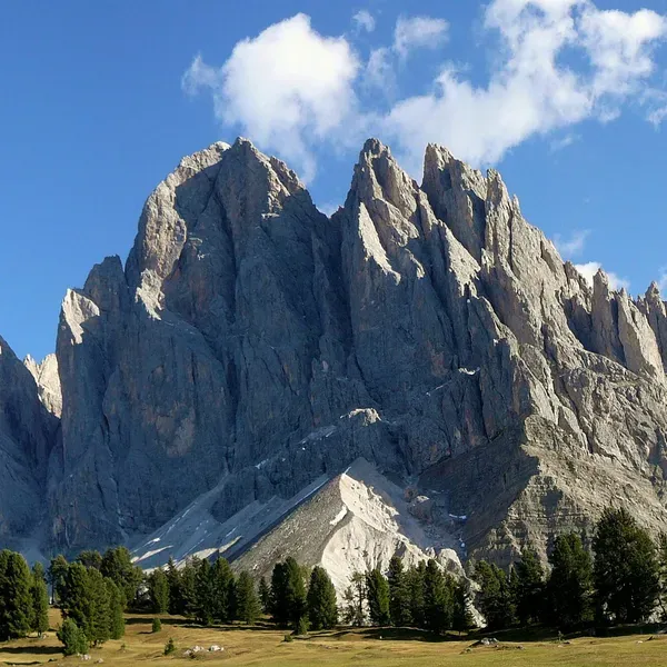
The Odle spires above the meadows and pines, seen from the Geisleralm
Day Hike
Medium

Odle and Adolf Munkel Trail - Loop from Zannes in Val di Funes

A loop from the Zannes car park, in Val di Funes, along the Adolf Munkel Trail in the Puez-Odle park: the long version, the short version, and how to park or come by bus.

Distance
9,6 km6.0 mi
Gain
451 m1,480 ft
Loss
448 m1,470 ft
View Itinerary
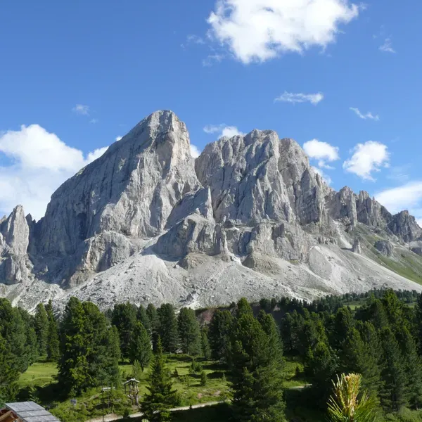
The Sass de Putia above the pines, seen from the Passo delle Erbe
Day Hike
Medium

Sass de Putia Loop - Circuit via the Passo delle Erbe

The full Sass de Putia loop via the Passo delle Erbe, in the north of the Puez-Odle park: the climb to the Forcella, the huts on the east side, the short version and access by car or bus.

Distance
14,6 km9.1 mi
Gain
681 m2,234 ft
Loss
683 m2,241 ft
View Itinerary
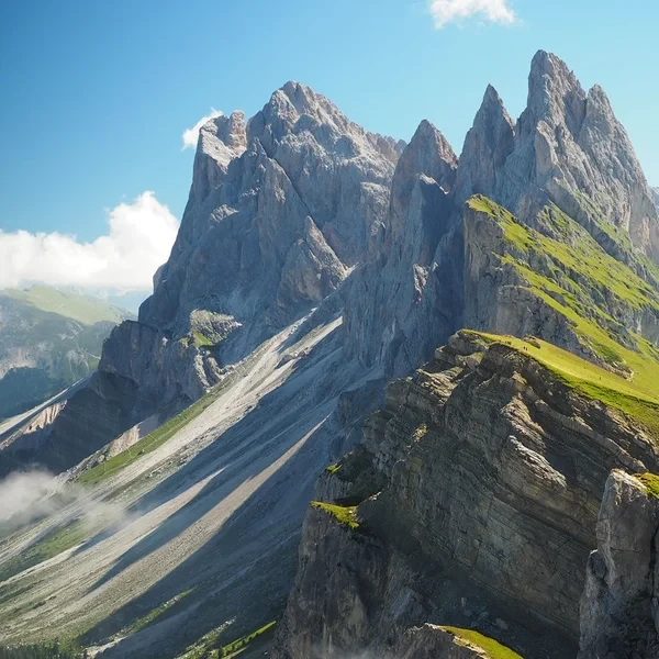
The Seceda ridgeline trail with the jagged Odle spires rising beyond green alpine meadows in Val Gardena
Day Hike
Medium

Seceda Ridgeline

Walk the most iconic ridgeline in the Dolomites, along the spine of the Odle above Val Gardena. Choose a short loop from the gondola (4 km2.5 mi) or a full-day circuit via Monte Pic da Cristauta (12.8 km8 mi), facing the Geisler spires.

Distance
4 km2.5 mi
Gain
260 m853 ft
Loss
270 m886 ft
View Itinerary
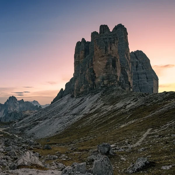
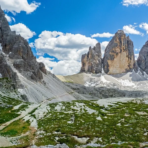
The three iconic peaks of Tre Cime di Lavaredo rising above alpine terrain
Day Hike
Medium

Tre Cime di Lavaredo Loop

Circle the most iconic monoliths in the Alps. This essential day hike brings you face-to-face with the dramatic north faces of the Three Peaks, traversing high-altitude scree fields in the heart of the Sesto Dolomites.

Distance
10 km6.2 mi
Gain
400 m1,312 ft
Loss
400 m1,312 ft
View Itinerary

Mountain Huts in the Dolomites

The rifugios where you sleep, eat, and recharge between stages of your Dolomites hut to hut trek.

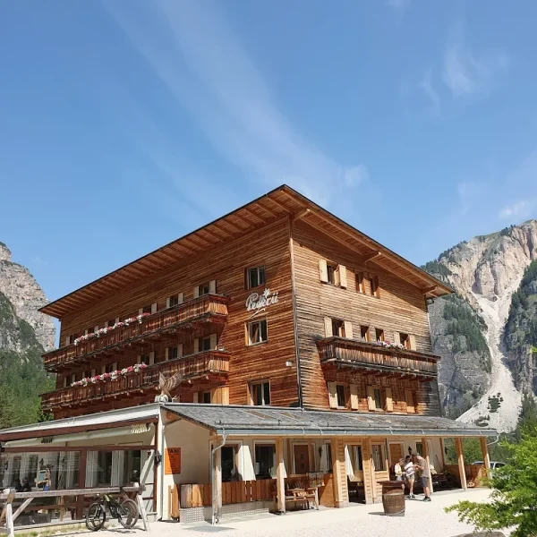
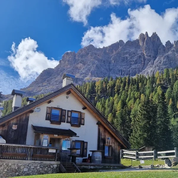
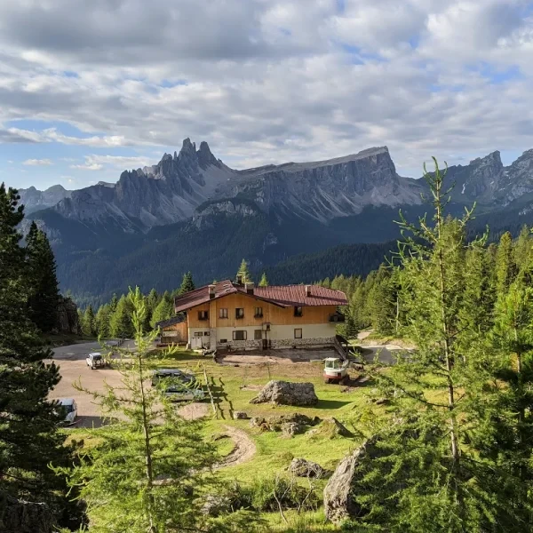
Berggasthaus Pederu nestled between steep rocky mountains with green slopes and pine trees

Berggasthaus Pederü

The main gateway to the Fanes-Sennes-Braies Natural Park, offering comfortable valley-floor accommodation and shuttle access from San Vigilio di Marebbe.

Elevation 1 548 m5,079 ft
Capacity 42
Season May - October
View Hut
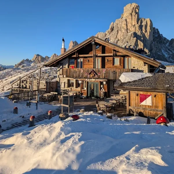
Winding mountain road near Berghotel Passo Giau with a rocky peak shrouded in clouds

Berghotel Passo Giau

A year-round mountain hotel right at the top of the scenic Passo Giau, offering comfortable rooms and sweeping 360-degree views of the Ampezzo Dolomites.

Elevation 2 236 m7,336 ft
Capacity 12
Season Year-round
View Hut
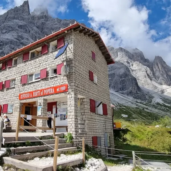
Bertihutte (Rifugio Berti) in the Val d Ansiei valley near the Tre Cime area

Bertihütte

Tucked into the Val d'Ansiei near Auronzo di Cadore, this welcoming refuge serves as a peaceful base for exploring the quieter eastern approaches to the Tre Cime area.

Elevation 1 950 m6,398 ft
Capacity 42
Season Mid June - Late September
View Hut
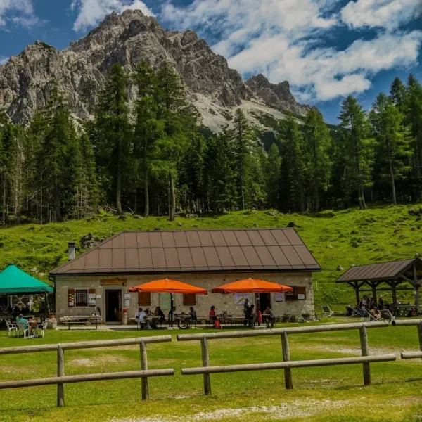
Malga Federa alpine hut with wooden fence below Croda da Lago and green forest

Malga Federa

A tiny alpine dairy farm turned mountain lodge perched above the shores of Lago Federa, one of the most photographed lakes in the Cortina basin.

Elevation 1 800 m5,906 ft
Capacity 10
Season Year-round
View Hut
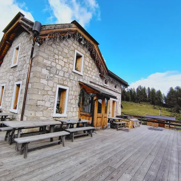
Malga Giau stone hut on a grassy meadow below jagged peaks and golden autumn larch forest

Malga Giau

A traditional alpine dairy farm just below Passo Giau, where hikers can enjoy fresh local cheeses and sleep in a rustic setting surrounded by open meadows.

Elevation 2 015 m6,611 ft
Capacity 10
Season April - November
View Hut
Malga Pramper hut with hikers on green pasture below rugged Dolomite peaks in Val Pramper

Malga Pramper

A tiny seasonal malga deep in the remote Val Prampèr, offering one of the most secluded overnight experiences in the southern Dolomites.

Elevation 1 540 m5,052 ft
Capacity 8
Season June - September
View Hut
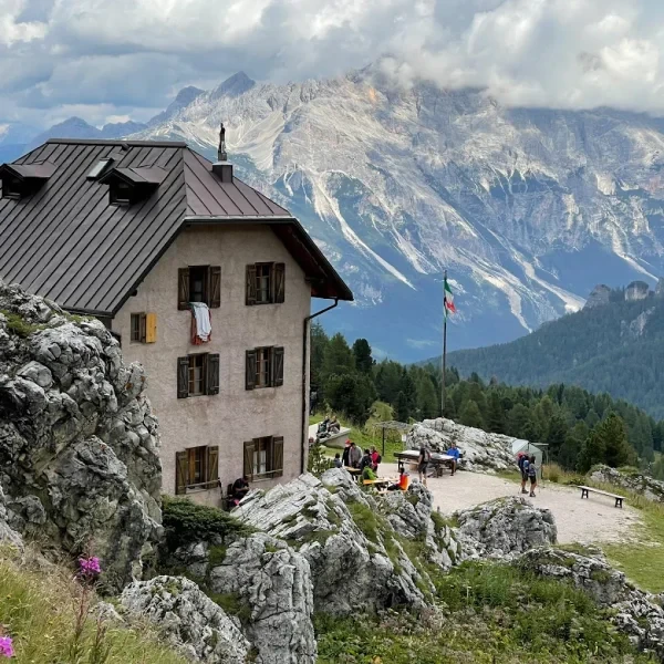
Rifugio 5 Torri with the Cinque Torri rock formations and green forest under cloudy sky

Rifugio 5 Torri

A cosy refuge tucked beneath the iconic Cinque Torri pillars, offering a quieter alternative to the busier huts in the area and direct access to climbing routes.

Elevation 2 137 m7,011 ft
Capacity 24
Season June - September
View Hut
Rifugio Angelo Dibona with parking area below jagged Tofane peaks and dense conifer forest

Rifugio Angelo Dibona

A well-equipped refuge named after one of the greatest Dolomite guides, nestled in a larch forest at the foot of the Tofane with routes for all abilities.

Elevation 2 083 m6,834 ft
Capacity 50
Season June - September
View Hut
Rifugio Aquileia lodge with wooden balconies beneath rugged sunlit mountains in Selva di Cadore

Rifugio Aquileia

A year-round mountain refuge tucked into the meadows above Selva di Cadore, offering direct views of Monte Pelmo and easy access to the trails around Alleghe.

Elevation 1 583 m5,194 ft
Capacity 25
Season Year-round
View Hut
Rifugio Auronzo sitting at the base of the Tre Cime di Lavaredo at sunset.

Rifugio Auronzo

Perched at the edge of the Tre Cime di Lavaredo, this high-altitude refuge serves as the primary gateway to the most famous peaks in the Sexten Dolomites.

Elevation 2 333 m7,654 ft
Capacity 99
Season Late June - Late September
View Hut
★★★★★ 4.7/5

From our partner · 400+ Verified Traveler Reviews

Decades of Alpine Expertise

Our partner agency has been operating in the Alps for over 40 years. Their team of passionate mountain experts knows every trail, every rifugio, and every season intimately.

Fully Protected Trips

Your investment is safe. We work exclusively with a licensed, bonded, and insured operator. 24/7 assistance and comprehensive travel insurance are included with every booking.

Handcrafted by Locals

No generic packages. Each itinerary is designed by a small team of travel experts who hike these trails themselves. Luggage transfers, dietary needs, and every logistical detail are handled for you.

A Real Team, Not a Call Center

A dedicated team of a dozen specialists is available before, during, and after your trip. You speak directly to the people who designed your route and know the terrain.