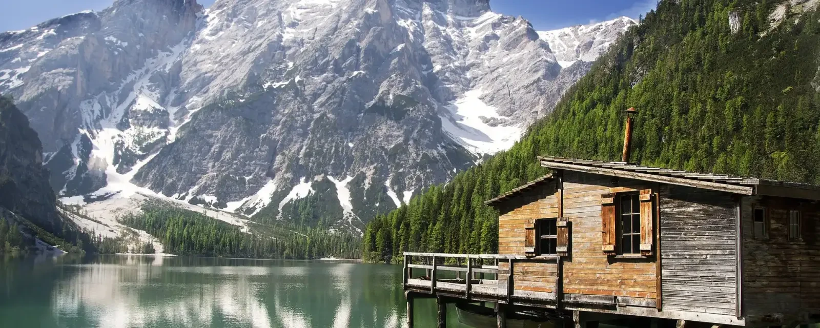
Best Towns for Hiking in the Dolomites
Compare nine bases - Cortina, Ortisei, San Candido, Dobbiaco, Alta Badia, Arabba, Canazei, Misurina and Alleghe - elevation, trail access, transport, and what each does best.
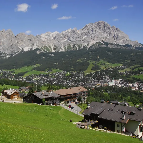
Cortina d'Ampezzo Hiking Guide
A practical guide to hiking from Cortina d'Ampezzo, the main base town in the eastern Dolomites. Covers the best trails, accessible rifugi, transport from Venice, and the right months to visit.
Updated 20 October 2026
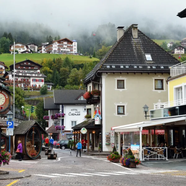
Ortisei and Val Gardena Hiking Guide
A practical guide to hiking from Ortisei and Val Gardena. Three cable car systems give access to Seceda, Alpe di Siusi, and Puez-Odle - covering the best routes, rifugi, and how to get there.
Updated 20 October 2026
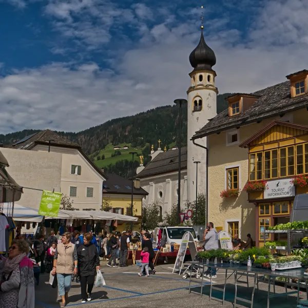
San Candido (Innichen) Hiking Guide
San Candido (Innichen) is the most practical base for the Tre Cime di Lavaredo area, with train access and bus links to Rifugio Auronzo. This guide covers transport, trail options, hut logistics, and when to go.
Updated 20 October 2026
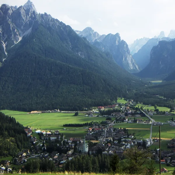
Dobbiaco (Toblach) Hiking Guide
Dobbiaco (Toblach) is the most practical and underrated base for the eastern Dolomites - closer to Lago di Braies and Tre Cime than most alternatives, with a real train station and direct bus connections to both sites.
Updated 20 October 2026
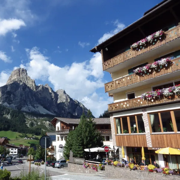
Alta Badia and Corvara Hiking Guide
Alta Badia sits at the geographic heart of the Ladin Dolomites, with Corvara acting as a central hiking base. It covers the Alta Via 1 Fanes stages, Piz Boe access, and the best rifugi in the valley.
Updated 20 October 2026
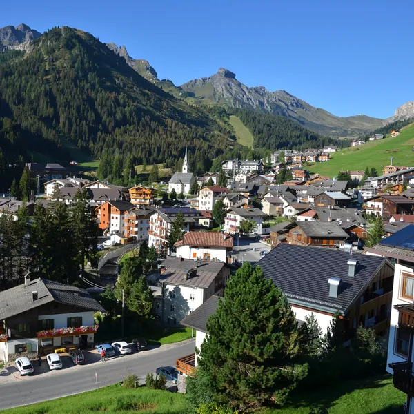
Arabba Hiking Guide
A guide to hiking from Arabba, in the Fodom valley: the Campolongo and Pordoi passes from the village, lifts, the Viel del Pan, summer buses without a car, where to stay and when to go.
Updated 20 October 2026
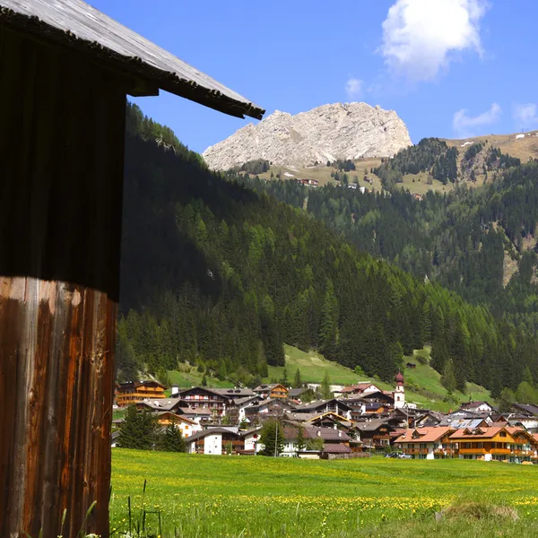
Canazei and Val di Fassa Hiking Guide
A guide to hiking from Canazei and the Val di Fassa: trails on foot, Val Contrin, lifts, summer buses to the passes, Guest Card, which village to pick and when to go.
Updated 20 October 2026
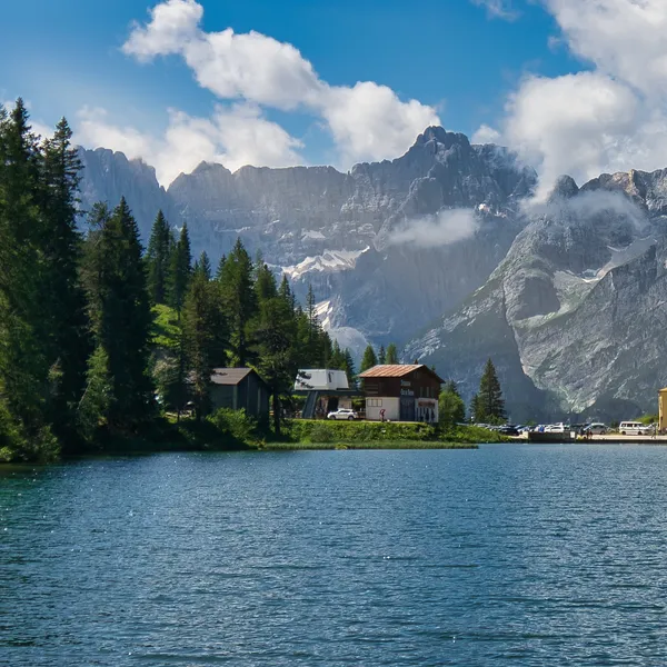
Auronzo and Misurina Hiking Guide
A guide to hiking from Misurina or Auronzo di Cadore: choosing between the mountain lake and the valley town, outings to the Tre Cime and Lake Sorapis, summer buses, where to stay and when to go.
Updated 20 October 2026
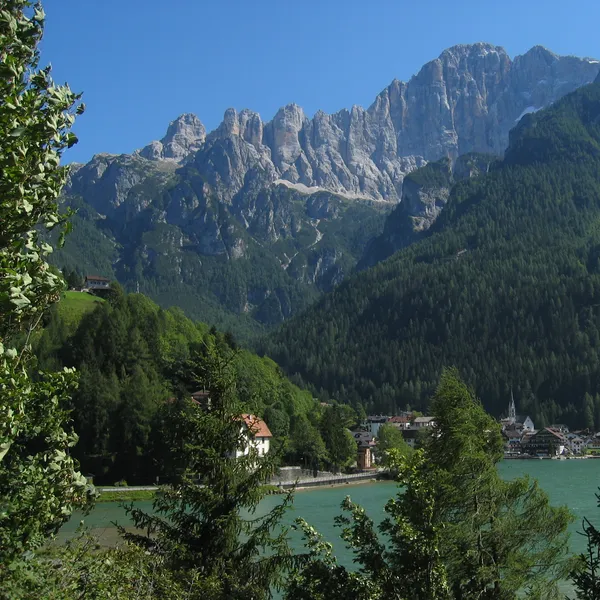
Alleghe Hiking Guide
A guide to hiking from Alleghe, on its lake below the Civetta: the lake loop, the Col dei Baldi gondolas, the Coldai, Tissi and Vazzoler huts, summer buses from Belluno and when to go.
Updated 20 October 2026
No towns match your search.
How should you pick your hiking base in the Dolomites?
The Dolomites are not a single mountain - they are an arc of limestone massifs, and the main hiking towns sit along that arc. Choosing the wrong base means spending hours driving to trailheads when you could be walking.
Three factors drive the decision. Geography comes first: the trails you want to walk should be close to your accommodation. If Tre Cime is your priority, San Candido and Dobbiaco are the logical bases. If the Alta Via 1 stages through the Fanes plateau matter most, Corvara in Alta Badia starts you at 1,568 m5,144 ft, well above Ortisei and Dobbiaco. Transport matters if you have no car: only San Candido and Dobbiaco have a train station; every other base in the table is reached by bus. Elevation changes what you can do without a cable car: at 1,568 m5,144 ft, Corvara is well above Ortisei (1,234 m4,049 ft) and Dobbiaco (1,256 m4,121 ft).
At-a-glance comparison
Each town serves a different hiking style. The table below distils the key variables so you can match base to objective before you book accommodation.
| Town | Elevation | Main range | Best for | Train access? |
|---|---|---|---|---|
| Cortina d’Ampezzo | - | Eastern Dolomites | Cinque Torri & Tofane | No (bus from Venice) |
| Ortisei | 1,234 m4,049 ft | Val Gardena | Seceda & Alpe di Siusi | No (bus from Bolzano) |
| San Candido | 1,175 m3,855 ft | Puster Valley | Tre Cime di Lavaredo | Yes (Puster Valley line) |
| Dobbiaco | 1,256 m4,121 ft | Puster Valley | Lago di Braies | Yes (Puster Valley line) |
| Corvara / Alta Badia | 1,568 m5,144 ft | Ladin Dolomites | Alta Via 1 & Sella | No (bus from Bruneck) |
| Arabba | 1,602 m5,256 ft | Fodom Valley | Pordoi & Campolongo passes | No (bus from Brunico) |
| Canazei | 1,465 m4,806 ft | Val di Fassa | Val Contrin & Pordoi | No (bus from Trento) |
| Misurina / Auronzo | 1,756 m5,761 ft | Cadore | Tre Cime & Cadini | No (bus from Calalzo or Dobbiaco) |
| Alleghe | 979 m3,212 ft | Civetta | Civetta huts | No (buses from Belluno) |
Note that San Candido and Dobbiaco are neighbours - both work as bases for the same area. The choice between them is mainly about price and preference: Dobbiaco is quieter and a little cheaper, while San Candido has more accommodation variety.
Which town fits which traveler?
Most visitors have one or two primary objectives. Here is how to match objective to base:
-
First trip, one classic base - choose Cortina d’Ampezzo. The Cinque Torri loop, the Rifugio Lagazuoi cable car, and the Lago di Sorapis trail are all accessible from the town. It is a classic base for first-time visitors to the Dolomites.
-
Cable cars and variety - choose Ortisei in Val Gardena. Two cable cars start from Ortisei (Seceda, and Mont Sëuc onto Alpe di Siusi), so you can change terrain every day without driving. The best multi-day hub for hikers who want to cover maximum ground.
-
Tre Cime without a car - choose San Candido or Dobbiaco. Arrive by train in Dobbiaco, then catch bus line 444 from the station to Rifugio Auronzo. This is a seasonal shuttle: the ticket must be booked and paid online. From San Candido, take the short train hop one stop west to Dobbiaco to connect to the 444. No car needed at any stage.
-
Tre Cime on a budget - choose Dobbiaco. Line 444 originates from Dobbiaco station, so you skip the San Candido connection. Accommodation is cheaper than in San Candido, and the Lago di Braies loop is also accessible from Dobbiaco bus station, on bus line 442: a seasonal service, by reservation while the road is regulated (1 July to 15 September).
-
High start, Alta Via 1 staging - choose Corvara. At 1,568 m5,144 ft, you start from well above Ortisei and Dobbiaco. The Fanes plateau, Piz Boè, and the Alta Via 1 stages between Rifugio Biella and Rifugio Fanes are all within reach.
-
Passes without a car - choose Arabba or Canazei. From Arabba you walk to the Passo Campolongo, and the Pordoi is a walk and a gondola away; from Canazei, summer buses climb to the Pordoi, Sella and Fedaia passes.
-
Tre Cime from the other side - choose Misurina: the Rifugio Auronzo shuttle leaves from Misurina.
-
Lake and Civetta huts - choose Alleghe: two gondolas take you up to the Col dei Baldi, from where the Coldai hut is about an hour’s walk.
Should you stay in a town or in a rifugio?
The honest answer for most hikers is: both. Town accommodation gives you a hot shower, a private bathroom, and the flexibility to change plans without forfeiting a deposit. Rifugio nights give you the experience - waking at 2,500 m8,202 ft before the day-trippers arrive, walking the first hour in empty mountain light, hearing the exact moment the alpine silence breaks when the cable cars start.
A practical split that works well: two or three nights in a base town, then one or two nights in a rifugio mid-route. This structure keeps luggage light (you leave what you do not need at the hotel), reduces booking risk (one rifugio night is easier to secure than four), and gives you the best of both environments. For the practical mechanics of booking rifugi - including deposits and walk-ins - the mountain hut guide covers the full process, and the mountain huts hub lists all 49 rifugi along the main routes. If you are trying to decide how many days to allocate, the Dolomites itinerary planning guide lays out realistic day counts for each combination of objectives.
Best Towns for Hiking - Frequently Asked Questions
Which Dolomites town has the best train access?
San Candido (Innichen) and Dobbiaco (Toblach) are the standout choices for train travelers. Both sit on the Puster Valley railway (Fortezza/Franzensfeste to San Candido). Both towns also have access to the seasonal shuttle to Tre Cime di Lavaredo (line 444, originating from Dobbiaco station, online booking required) and to Lago di Braies (line 442 from Dobbiaco), making them good bases for reaching these two landmarks without a car. Cortina and Corvara have no train station: they are reached by bus. The same goes for Arabba (nearest stations Brunico, Belluno and Bolzano), Canazei (buses from Trento, Bolzano and Ora), Misurina (station at Calalzo, or Dobbiaco and then summer buses) and Alleghe (two buses from Belluno, changing at Agordo).
What's the highest hiking base in the Dolomites?
Misurina at 1,756 m5,761 ft is the highest of our hiking bases, ahead of Arabba (1,602 m5,256 ft) and Corvara in Badia (1,568 m5,144 ft). Corvara sits well above Ortisei (1,234 m4,049 ft) and Dobbiaco (1,256 m4,121 ft), which matters for the approach to the Sella Group and the Fanes plateau. The Piz Boè summit stands at 3,152 m10,341 ft.
Where should I stay for Tre Cime di Lavaredo?
Dobbiaco or San Candido - both work well as bases. The key logistics: bus line 444 runs from Dobbiaco station to Rifugio Auronzo in season; the ticket must be booked and paid online; San Candido travelers connect via Dobbiaco (one train stop west). From Dobbiaco, the bus ride is roughly 50 minutes. Dobbiaco is slightly less crowded and cheaper, making it good value if you have no other priorities in the area. If you want more dining options and a wider choice of hotels, San Candido wins. Either way, book the rifugio for your overnight stay well in advance - Rifugio Auronzo and Rifugio Lavaredo are booked early for July and August nights.
Where should I base for the Alta Via 1?
Corvara is the best base for the Alta Via 1's central and most scenic stages, covering the Fanes plateau and the high ridge between the Sella and Marmolada groups. The first stages run from Lago di Braies to Rifugio Lagazuoi via the Biella and Fanes huts. For the northern stages of the AV1 (starting from Lago di Braies), Dobbiaco or San Candido are the logical arrival points before you begin the walk south. For our full multi-day itinerary, see the Alta Via 1 route guide.
Which town has the most cable car access?
Ortisei in Val Gardena has two cable cars starting from the town: the Seceda gondola rising to the Odle ridgeline at about 2,500 m8,202 ft, and the Mont Sëuc gondola climbing onto the Alpe di Siusi plateau at around 2,000 m6,562 ft. If you want varied cable-car-accessible terrain without driving, Ortisei is a good choice.
Which Dolomites town is the most affordable?
Dobbiaco is the most affordable of the original five hiking bases. It is quieter than San Candido (5 km3.1 mi away) and far less commercialised than Cortina, with cheaper accommodation than in Cortina or Ortisei. The town has all essential services - supermarkets, gear shops, a decent restaurant selection - without the resort pricing that Cortina and Corvara attract. For budget-conscious hikers, the combination of Puster Valley railway access and direct bus links to both Tre Cime and Lago di Braies makes Dobbiaco the strongest value proposition in the eastern Dolomites. Alta Badia (Corvara) tends to be the most expensive base overall due to its Sella Ronda ski resort infrastructure.
From our partner · 400+ Verified Traveler Reviews
"This trek is magnificent. The itinerary is perfect, and our guide was extraordinary - knowledgeable, attentive, and genuinely passionate about the Dolomites."
"Well-marked trails that avoid the crowded tourist spots, with real elevation changes that keep it interesting. The mountain hut stays were a highlight - the Italian food at every rifugio was outstanding."
"Our guide was super professional. The transportation was seamless, and the family-run hotel was very comfortable - a friendly and safe setting. I would do it again in a minute."
"Excellent itinerary, excellent guide. Every detail was handled perfectly and the route choices were spot on. Would do it again without hesitation."
"A spectacular trek through an exceptional mountain range. The route avoids the most crowded areas and the views are relentless. Be warned - the elevation changes are more demanding than you expect."
"A genuinely engaging trek that keeps you motivated day after day. The variety of landscapes - from green valleys to high rocky passes - is remarkable. Well organized from start to finish."
"I rate this trip 10 out of 10. The accommodation quality exceeded my expectations, and the staff were incredibly attentive - even accommodating my food allergies without any fuss."
"An extraordinary itinerary that lets you discover the Dolomites without overexerting yourself. The route is well-balanced with no technical difficulties, yet you still feel immersed in the high mountains."
"A great discovery for a first group hiking trip. The guide was excellent, the group was friendly, and the autumn weather gave us clear skies over the Dolomites nearly every day."
"A wonderful week in the mountains with an excellent guide who knew every trail and every shortcut. The hut-to-hut format made the logistics effortless - just walk and enjoy."
Decades of Alpine Expertise
Our partner agency has been operating in the Alps for over 40 years. Their team of passionate mountain experts knows every trail, every rifugio, and every season intimately.
Fully Protected Trips
Your investment is safe. We work exclusively with a licensed, bonded, and insured operator. 24/7 assistance and comprehensive travel insurance are included with every booking.
Handcrafted by Locals
No generic packages. Each itinerary is designed by a small team of travel experts who hike these trails themselves. Luggage transfers, dietary needs, and every logistical detail are handled for you.
A Real Team, Not a Call Center
A dedicated team of a dozen specialists is available before, during, and after your trip. You speak directly to the people who designed your route and know the terrain.