Where Should You Stay for Hiking: Misurina or Auronzo?
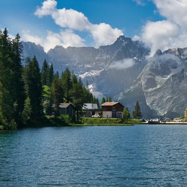
If your trip revolves around the Tre Cime di Lavaredo (Drei Zinnen), stay in Misurina: this hamlet of the municipality of Auronzo di Cadore, at 1,756 m5,761 ft, surrounds a small lake where the three towers, the Cadini and the Sorapis are reflected, and it sits on the road to the Rifugio Auronzo, the starting point of the loop.
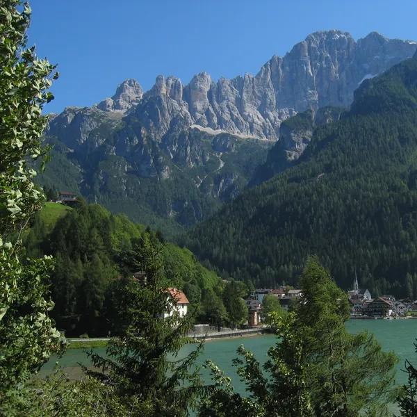
Auronzo di Cadore, a valley town on the shore of Lake Santa Caterina a few kilometres away, suits you if you prefer a village and don’t mind taking the bus up every day. By car, Misurina is about 30 minutes from Cortina d’Ampezzo over the Passo Tre Croci and 25 minutes from Dobbiaco (Toblach) via Carbonin (Schluderbach).
Auronzo has hotels, B&Bs and apartments. Without a car, in Auronzo choose accommodation close to a line 50 stop; in Misurina, everything starts from the Genzianella stop.
If you are still weighing Misurina against other villages, our comparison of the best towns for hiking compares Cortina, Dobbiaco, San Candido and the other bases of the range.

Which Walks Can You Do Around Misurina and Auronzo?
The Lake Misurina loop. A flat loop of about 2 km1.2 mi, fine with a stroller: the walk for your arrival day, or for a family with young children. Extend it to Lake Antorno, 30 to 40 minutes on foot.
The Col de Varda. The col (2,115 m6,939 ft) can be reached on foot or by the chairlift of the same name, which runs in summer: it is the gateway to the Cadini di Misurina.
Lake Santa Caterina, in Auronzo. In the centre of the town, at 860 m2,822 ft, its loop is a little over 4 km2.5 mi on foot (part of it can also be done by bike).
How Do You Get There and Get Around Without a Car?
From the Veneto, the nearest station is Calalzo - Pieve di Cadore - Cortina, about 15 km9.3 mi from Auronzo: buses run from there to Auronzo, with a connection to Misurina.
From South Tyrol, take the train to Dobbiaco via Trento or Bolzano: in summer, Südtirol Mobil buses go up from there to Misurina via Carbonin, with connections from San Candido (Innichen) and Brunico (Bruneck). Our guides to Dobbiaco and San Candido cover that side.
Once there, three Dolomiti Bus services matter to hikers:
- Line 50, from Auronzo to Misurina Genzianella: in midsummer 2026, seven runs to Misurina in the morning and seven returns in the afternoon and evening, enough to stay in Auronzo and hike at altitude all day.
- Line 51, from Cortina to Misurina Genzianella via the Passo Tre Croci, where the Sorapis trail starts, in summer; our Cortina d’Ampezzo guide covers the other end of the line.
- Tre Cime shuttle, from Misurina Genzianella to the Rifugio Auronzo, with a stop at Lake Antorno. Tickets are sold on the DolomitiBus app, at ticket offices or on board by contactless card; dates and runs are in the Dolomiti Bus announcement (in Italian).
By car, the road to the Rifugio Auronzo goes through an automated toll gate that only lets in vehicles booked online with their licence plate. The toll and the season’s other bookings are covered in our guide to booking access in the Dolomites.
How Do You Hike the Tre Cime Loop From Misurina?
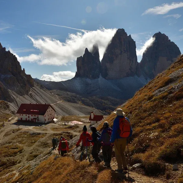
From Misurina, the Tre Cime shuttle takes you from the Genzianella stop up to the Rifugio Auronzo; from Auronzo, line 50 drops you at Genzianella to catch it. From the Rifugio Auronzo (2,333 m7,654 ft), trail 101 leads to the Forcella Lavaredo (2,454 m8,051 ft), where the north faces of the three towers come into view.
The full loop from the Rifugio Auronzo is 8.8 km5.5 mi, with 550 m1,804 ft of climbing and the same of descent: allow 3 to 4 hours. It passes the Rifugio Lavaredo and then the Rifugio Locatelli, 1 hour 45 minutes from the Rifugio Auronzo on trail 101.
How Do You Get Up to Lake Sorapis?
From the Passo Tre Croci (1,805 m5,922 ft), where line 51 drops you, trail 215 climbs in 1 hour 45 minutes to 2 hours 30 minutes to the Rifugio Vandelli, on the lakeshore. The trail has cable-equipped sections: avoid it with young children.

Which Huts Should You Target From Misurina and Auronzo?
The Rifugio Lavaredo, a private hut, is the first on the loop: it stands on the Piani di Lavaredo, on trail 101, between the Rifugio Auronzo and the Forcella Lavaredo. It makes a quieter lunch stop than the Rifugio Auronzo.

The Rifugio Pian di Cengia, at 2,528 m8,294 ft, is off the loop, on the Sesto (Sexten) side: a small hut with 15 dormitory beds, bookable by phone only.
When Is the Best Time to Hike From Misurina and Auronzo?
Aim for the second week of June to early September: in 2026, from 30 May to 7 June and from 10 September to 4 October, line 50 dropped to two runs a day and line 51 no longer came from Cortina. The Tre Cime shuttle, by contrast, started on 30 May, and the road to the Rifugio Auronzo is generally open from late May to late October, weather permitting. The 2027 dates are not yet published: check them in spring on the Dolomiti Bus website; for month-by-month weather and crowds, see our guide to the best time to hike in the Dolomites.
Hikes around Auronzo - Misurina
Tre Cime di Lavaredo Loop
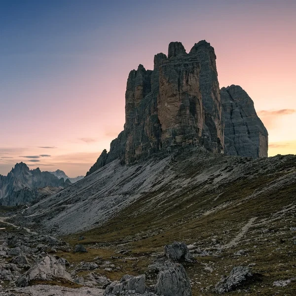
Circle the most iconic monoliths in the Alps. This essential day hike brings you face-to-face with the dramatic north faces of the Three Peaks, traversing high-altitude scree fields in the heart of the Sesto Dolomites.
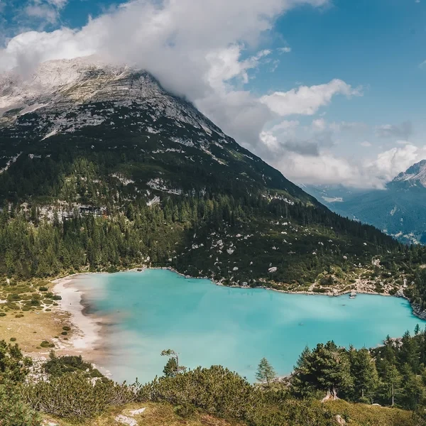
Lago di Sorapis
A glacial turquoise lake hidden beneath the Sorapis massif near Cortina d'Ampezzo. The trail from Passo Tre Croci crosses cable-aided rock traverses to reach one of the most photographed spots in the Dolomites.
Huts around Auronzo - Misurina
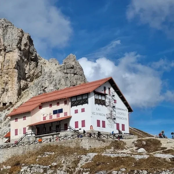
Rifugio Auronzo
Perched at the edge of the Tre Cime di Lavaredo, this high-altitude refuge serves as the primary gateway to the most famous peaks in the Sexten Dolomites.
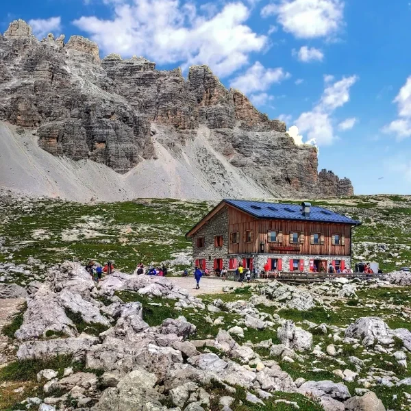
Rifugio Lavaredo
Sitting on the quieter northern side of the Tre Cime loop, this historic refuge offers front-row views of the iconic three towers without the crowds of the toll road side.
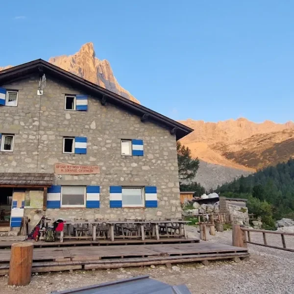
Rifugio Vandelli
Perched above the turquoise-green Lago di Sorapis, this refuge is one of the most photographed destinations in the Dolomites and a key stop on the Alta Via 4.
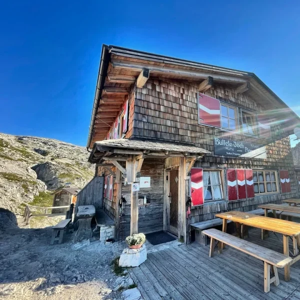
Rifugio Pian di Cengia
The highest refuge in the Tre Cime area, this intimate mountain hut rewards hikers with a challenging approach and unmatched panoramic views from its lofty perch at 2,528 m8,294 ft.
Passes around Auronzo - Misurina
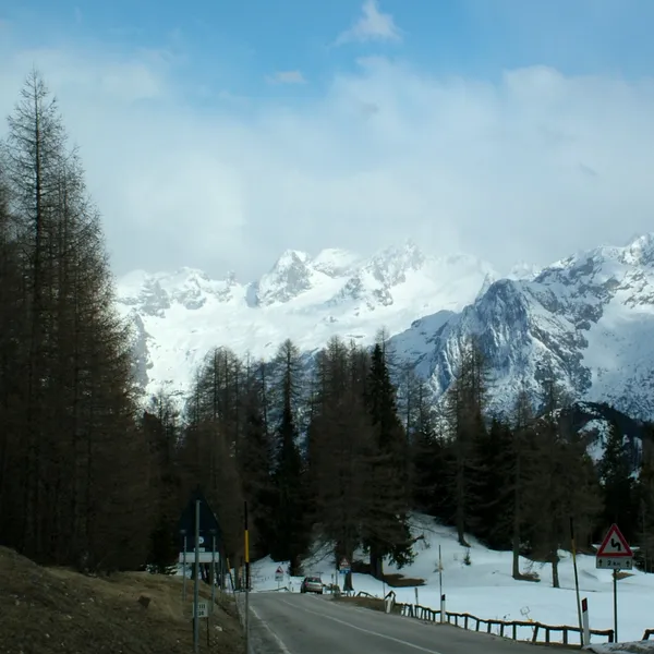
Passo Tre Croci
Passo Tre Croci, between Cortina d'Ampezzo and Misurina, is where the trail to Lake Sorapis begins. You can reach it by summer bus, and two trails climb from here to Rifugio Vandelli.
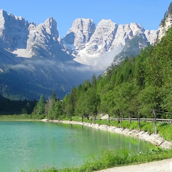
Passo Cimabanche (Gemärk)
Passo Cimabanche is the high point of the old railway between Dobbiaco and Cortina d'Ampezzo, now a cycle path. Here is what you will see along the way, from the lakes of the Val di Landro to the view of the Tre Cime.