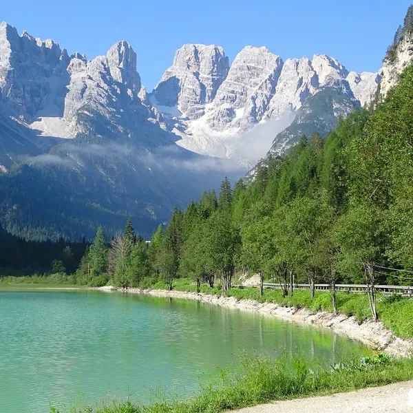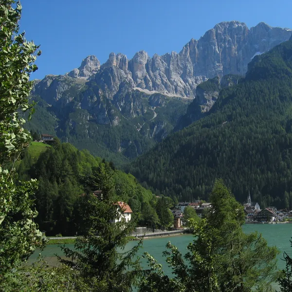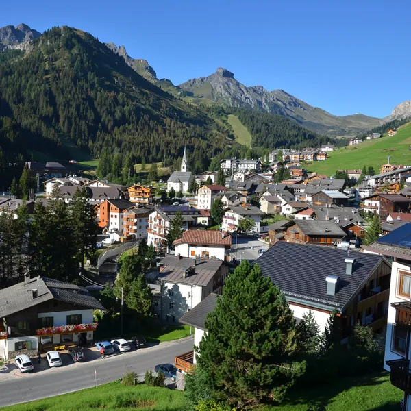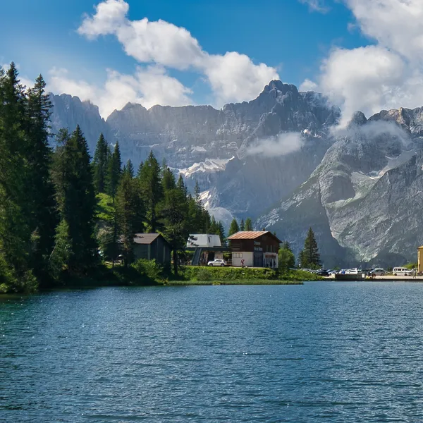
Why is San Candido a great base for hiking the Tre Cime area?
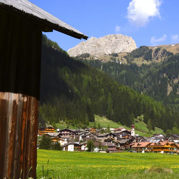
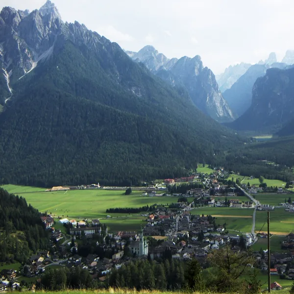
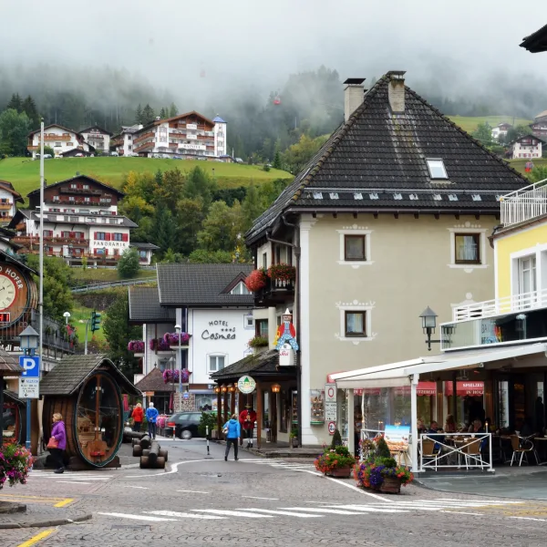
San Candido (Innichen) sits at 1,175 m3,855 ft in the Puster Valley (Val Pusteria / Pustertal), a broad east-west corridor in South Tyrol that funnels visitors toward the eastern Dolomites. It is a bilingual town - German and Italian share street signs, menus, and conversation - close to the Austrian border at Prato alla Drava (Winnebach).
What makes it useful as a hiking base is not its size but its connectivity. A rail line, the Puster Valley line, links it to Fortezza and Lienz, and from the town bus stop, a seasonal shuttle service reaches the trailheads at Rifugio Auronzo - the jumping-off point for the Tre Cime di Lavaredo loop. For hikers arriving without a car, this combination of rail access and mountain bus service is genuinely rare in the Dolomites.
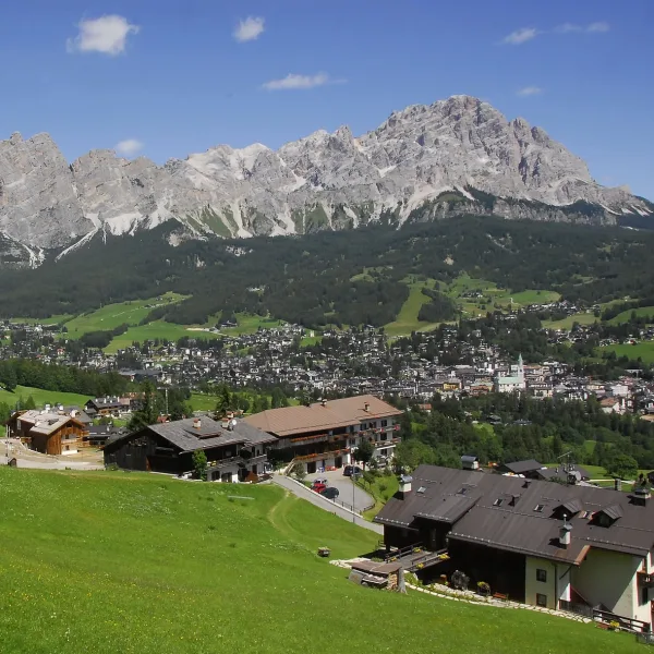
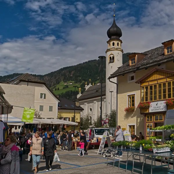
The town itself is compact but functional: an old collegiate church, a handful of good mountain hotels, and a weekly market. It is not a resort showpiece like Cortina, which is precisely what makes it cheaper and calmer. If you want galleries and designer boutiques, you are in the wrong valley. If you want to be on the trail by 07:30 without sitting in traffic for an hour, San Candido delivers.
How Do You Get to San Candido?
The most efficient arrival is by train. San Candido / Innichen station sits on the Puster Valley railway (Pustertalbahn) between Fortezza/Franzensfeste and Lienz. From Bolzano, change at Fortezza/Franzensfeste for the Puster Valley line. On the cross-border regional trains San Candido - Lienz, the Südtirol Guest Pass is not valid.
If you are driving, San Candido is reached via the A22 / Brenner Autostrada, then the SS49 east along the Puster Valley. Parking in town is straightforward outside of midsummer weekends.
For broader transport context covering airports, ZTL zones, and car hire specifics, see our complete Dolomites logistics guide.
How Do You Get from San Candido to Tre Cime di Lavaredo?
Rifugio Auronzo (2,333 m7,654 ft) is the standard starting point for the Tre Cime loop. A toll road of about 6 km3.7 mi, starting near Lago d’Antorno, climbs to the rifugio, and the fee is 40 EUR$46 per car in 2026 on the official Auronzo di Cadore scale, with online booking compulsory: without a booking, the car does not go up.
The practical alternative is shuttle bus line 444, which runs from Dobbiaco station via Lago di Landro to Rifugio Auronzo from 31 May to 11 October 2026. From San Candido, the simplest approach is the short train hop or local bus to Dobbiaco and onto the 444. Tickets for line 444 must be booked online in advance, with online payment (on the Tre Cime destination website), and the Südtirol Guest Pass is not valid. Check current timetables on the SüdtirolMobil app as schedules change each summer.
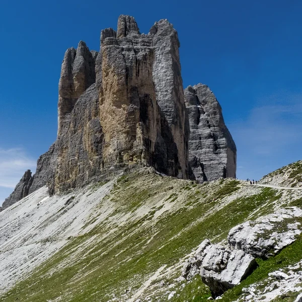
Once at Rifugio Auronzo, the classic Tre Cime circuit covers roughly 10 km6.2 mi with 400 m1,312 ft of elevation gain - a full loop around the three spires taking 4 to 5 hours at a steady pace. The trail is non-technical but exposed to wind, and afternoon thunderstorms build rapidly in summer. Be descending from the ridge by 13:30.
What Other Hikes Are There Around San Candido?
The crowds concentrate entirely on Tre Cime. If you base yourself in San Candido for several days, the surrounding valleys offer serious alternatives with far fewer people.
Val Fiscalina (Fischleintal) opens east of San Candido and ranks among the most dramatic valley walks in the eastern Dolomites. From 14 June to 11 October 2026 the valley is served by the Val Fiscalina shuttle (lines 440 and 446): no reservation, daily tickets on the bus, cash only, free with the Südtirol Guest Pass. The Sesto Dolomites (Dolomiti di Sesto) rise directly above: Croda Rossa, the Cima Undici complex, and the Paterno group. The standard hike follows the valley on a 4.5 km2.8 mi trail between Bad Moos and the Talschlusshütte, the starting point toward Rifugio Zsigmondy-Comici. This is an entirely different texture to Tre Cime - quieter, steeper, less photographed.
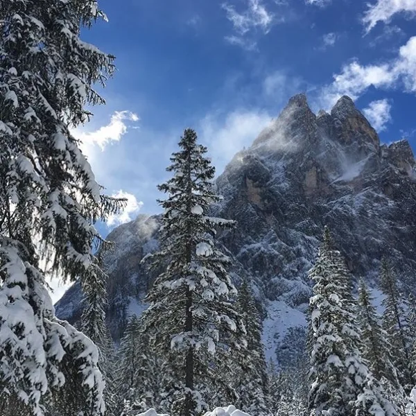
For experienced walkers, the Sillianer Hütte provides a full-day loop via the Carnic ridge on the Italian-Austrian border, with genuine mountain isolation.
The Helm (Elmo) plateau rises directly above San Candido. A lift shortens the ascent; from the top station, a network of trails connects to the high plateau with views across the Puster Valley to the Zillertal Alps to the north. This is a good option for a morning hike when the Tre Cime road is already gridlocked - the plateau sees a fraction of the traffic and the views north across the Austrian border are expansive.
Which Rifugi Should You Know in the Tre Cime Area?
The huts around Tre Cime rank among the most visited in the Dolomites, which means booking is non-negotiable if you plan to sleep overnight rather than day-hike.
At 2,333 m7,654 ft, the most accessible hut on the loop, sitting right at the toll road terminus. It functions more as a base camp cafeteria than a traditional mountain hut. Do not expect solitude here. Book early for July or August nights.
On the northern flank of the Tre Cime, on the standard counter-clockwise loop. Smaller and better situated for the classic viewpoint photographs, it fills early in the season. Card payment is not reliable at altitude - bring 60 EUR$70 minimum in cash for a dinner and overnight stay.
The least-known of the three main circuit huts, positioned on a ledge to the northeast with a different angle on the towers. It rewards hikers who extend the standard loop with a scramble up to the Forcella del Camoscio. If Lavaredo is fully booked, check here first.
On the Carnic ridge above the Italian-Austrian border. A genuine high mountain hut with a fraction of the traffic that the Tre Cime circuit huts see - a serious option if you want isolation rather than the standard loop experience.
For a complete overview of how to book, what huts typically cost, and the unwritten rules of rifugio etiquette, read our rifugi guide for the Dolomites. Browse the full mountain huts directory for the broader region.
When Is the Best Time to Visit the Tre Cime Area?
The Tre Cime road to Rifugio Auronzo is usually open from late May to late October. Within that window, timing matters considerably.
July is one of the worst months for crowds. The Ferragosto holiday period (mid-August) runs it close, with busy weekends on the Tre Cime loop. The huts are at capacity, and the trail path around the north face resembles a queue more than a walk.
Early September is the insider choice. The trails empty noticeably after the end of August, and the air is clear. Bus line 444 ran from 31 May to 11 October in 2026, so car-free access remains possible in September.
Late June is worth considering if you want flowers rather than empty trails. The alpine wildflower bloom on the plateau below Tre Cime peaks in the third week of June, and you will share the path with a fraction of the August crowd.
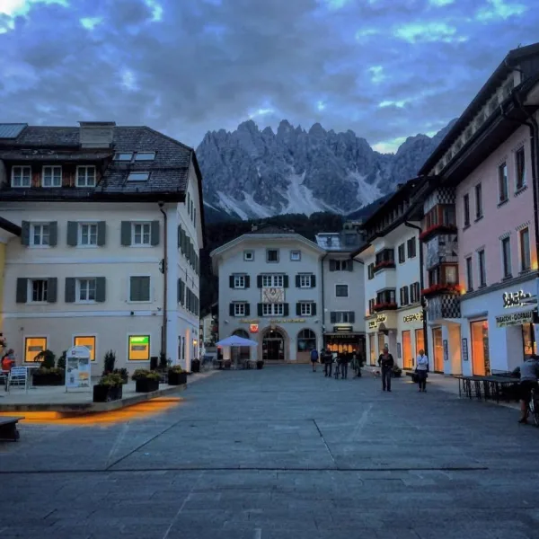
For a full breakdown of weather windows across the entire Dolomites, see our best time to visit guide. If you are also planning to visit Lago di Braies, the Braies itinerary page covers the trail in detail - and for a quieter alternative base in the same valley, Dobbiaco (Toblach) (covered in the Dobbiaco hiking base guide) is worth comparing. Compare all five town bases side by side in our Best Towns for Hiking guide.
Hikes around San Candido
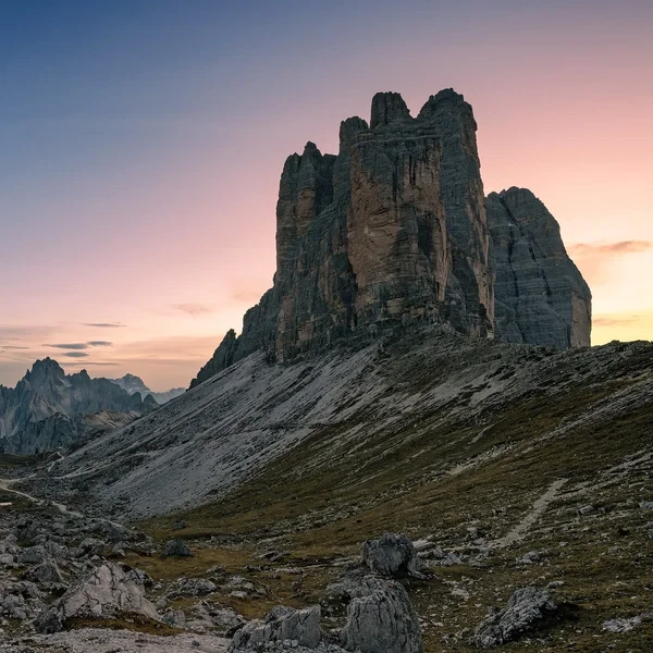
Tre Cime di Lavaredo Loop
Circle the most iconic monoliths in the Alps. This essential day hike brings you face-to-face with the dramatic north faces of the Three Peaks, traversing high-altitude scree fields in the heart of the Sesto Dolomites.
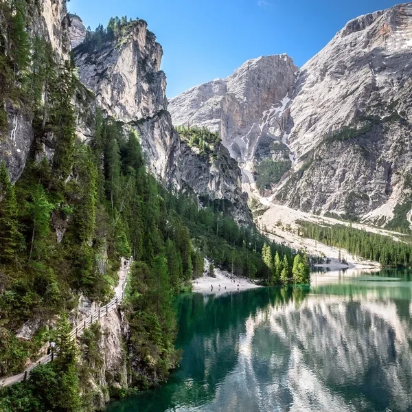
Lago di Braies
Visit the most famous lake in the Italian Dolomites. This guide covers the essential shoreline loop, the easy hike to Malga Foresta, and the 2027 parking and shuttle regulations.
Huts around San Candido
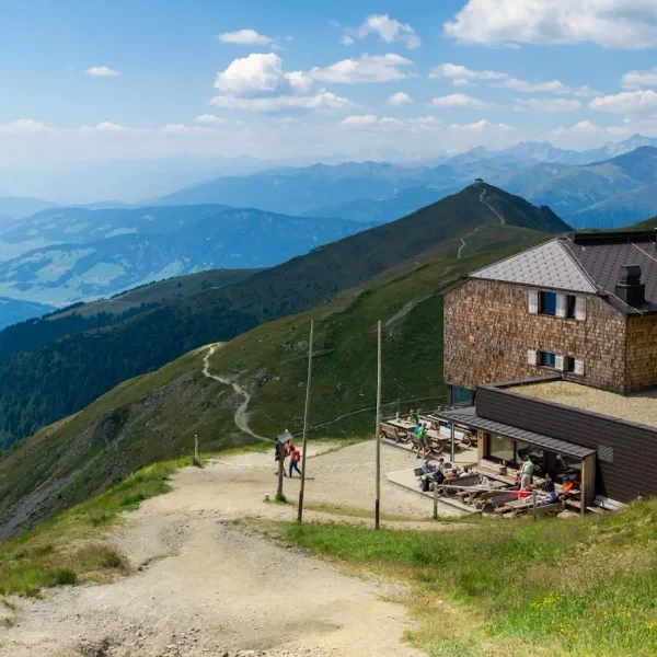
Sillianer Hütte
Perched on the Carnic Alps ridge directly on the Austrian-Italian border, this refuge commands sweeping views in both directions and serves as a key stop on the Carnic High Trail.
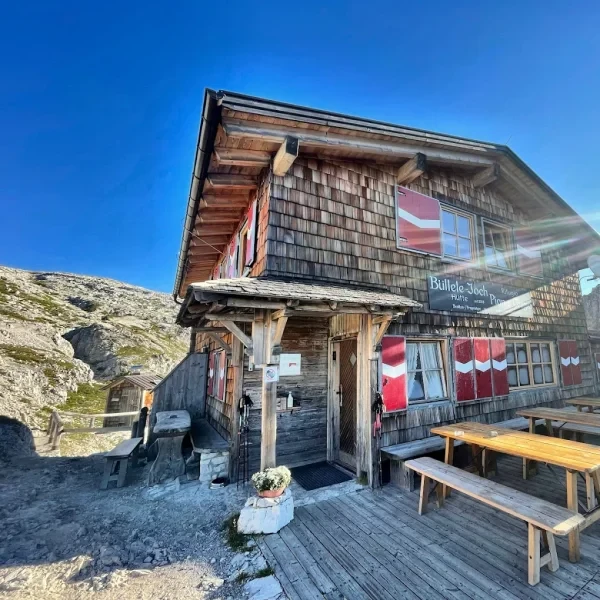
Rifugio Pian di Cengia
The highest refuge in the Tre Cime area, this intimate mountain hut rewards hikers with a challenging approach and unmatched panoramic views from its lofty perch at 2,528 m8,294 ft.
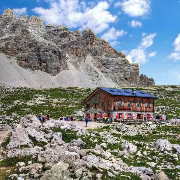
Rifugio Lavaredo
Sitting on the quieter northern side of the Tre Cime loop, this historic refuge offers front-row views of the iconic three towers without the crowds of the toll road side.
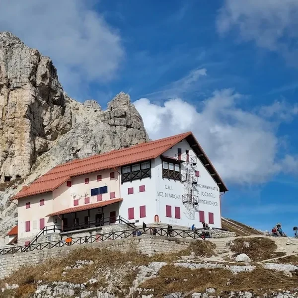
Rifugio Auronzo
Perched at the edge of the Tre Cime di Lavaredo, this high-altitude refuge serves as the primary gateway to the most famous peaks in the Sexten Dolomites.