
Dolomites Passes
Choosing the pass to start a day hike from, with or without a car.
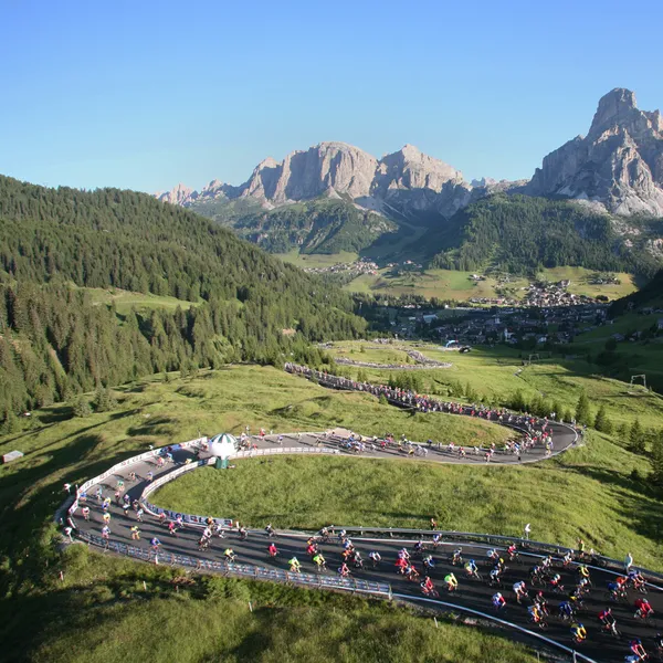
Passo Campolongo (Ju de Ćiaulunch)
Passo Campolongo links Corvara, in Val Badia, to Arabba, between the Sella and the Fanes group. You can reach it by bus 472, on foot from Arabba or Planac, or on the way down from the Boè gondola.
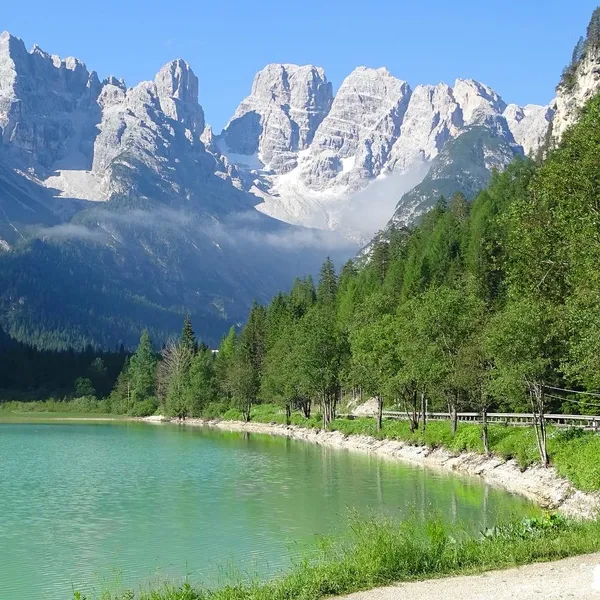
Passo Cimabanche (Gemärk)
Passo Cimabanche is the high point of the old railway between Dobbiaco and Cortina d'Ampezzo, now a cycle path. Here is what you will see along the way, from the lakes of the Val di Landro to the view of the Tre Cime.
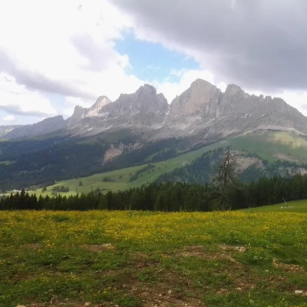
Passo Costalunga (Karerpass)
Passo Costalunga, or Karerpass, lies between the Catinaccio and the Latemar, just above Lake Carezza. Here is how to reach it by bus from Bolzano or the Val di Fassa, which trails climb to it and when to go.
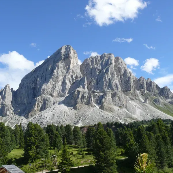
Passo delle Erbe (Würzjoch)
Passo delle Erbe links the Val Badia and the Val di Funes, below the Sass de Putia. How to reach it by bus, on foot or on its narrow road, and the pasture and Puez-Odle park trails that start from it.
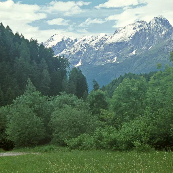
Passo Duran
Passo Duran links the Agordino and the Val di Zoldo. What starts from the pass on foot: the easy climb to Rifugio Carestiato and the Alta Via 1 stage that enters the Belluno Dolomites National Park.
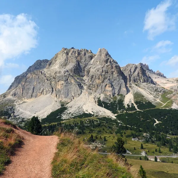
Passo Falzarego
Passo Falzarego, on the Great Dolomites Road above Cortina, is the gateway to the Lagazuoi. How to get there by bus or car, what you can do on foot or by cable car, and what remains of the 1915-1917 front.
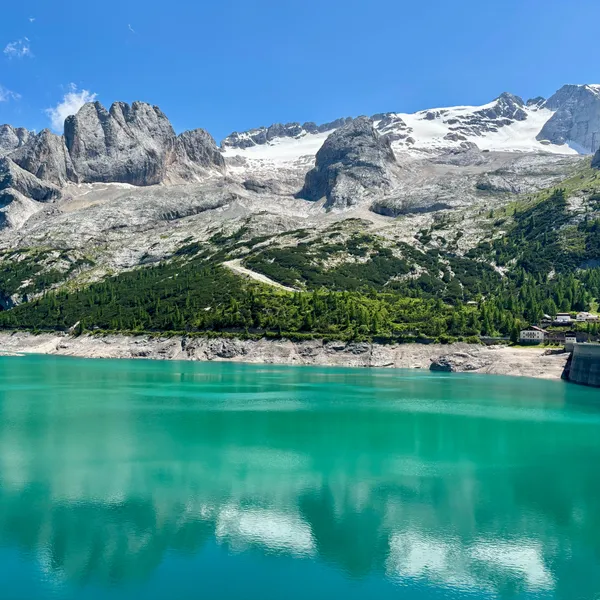
Passo Fedaia
Passo Fedaia links the Val di Fassa to the province of Belluno, at the foot of the Marmolada and its glacier. Two summer bus lines serve it, a road climbs from Canazei and the Bindelweg arrives from Passo Pordoi.
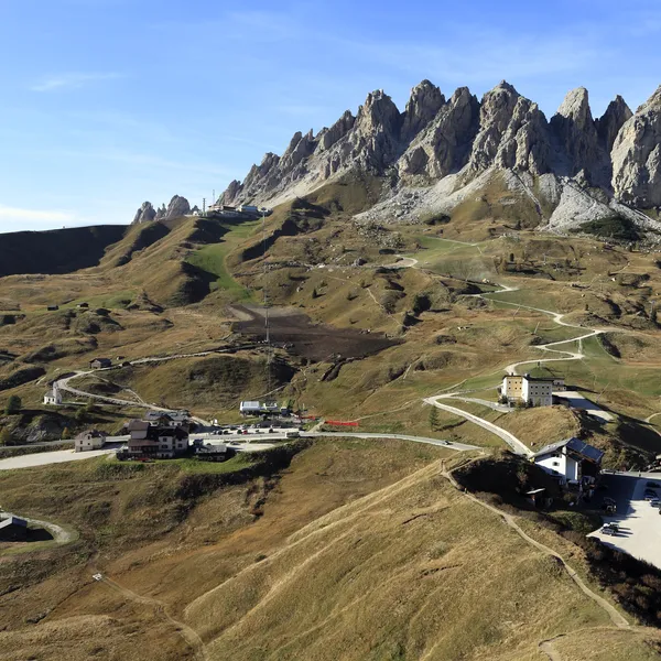
Passo Gardena (Grödner Joch)
Passo Gardena links Val Gardena and Val Badia, between the Sella and the Cirspitzen. You can reach it by bus in summer, on foot or by lift, and trail 2 leads from the pass to the Puez hut.
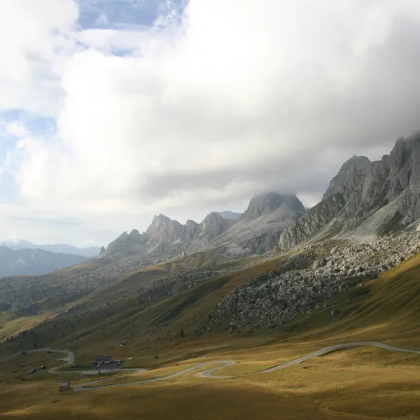
Passo Giau
Passo Giau links Cortina d'Ampezzo and Selva di Cadore. How to reach it by summer bus from Cortina, what starts from the pass on foot, from the Ra Gusela via ferrata to Rifugio Nuvolau, and when to go.
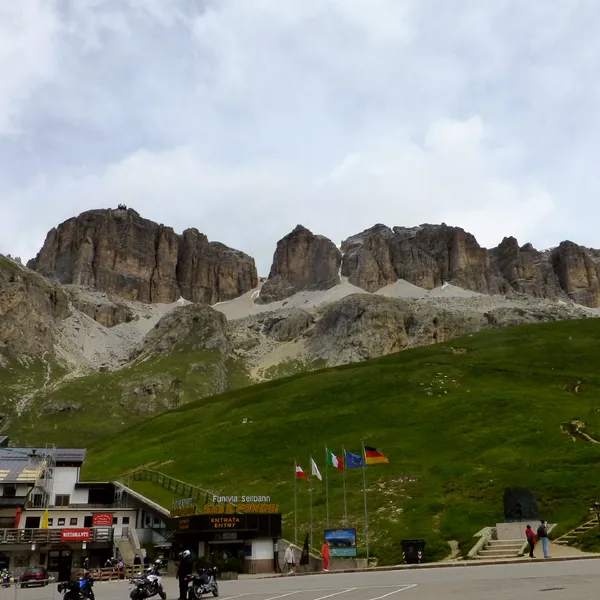
Passo Pordoi (Pordoi Pass)
Passo Pordoi links the Val di Fassa and Arabba, at the foot of the Sella. Reach it by bus or gondola, then ride the Sass Pordoi cable car, climb Piz Boè, walk the Bindelweg to the Fedaia or visit the German war cemetery.
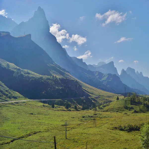
Passo Rolle
Passo Rolle lies 9 km from San Martino di Castrozza, overlooked by the Cimon della Pala. From the pass, the road to the Baita Segantini is closed to private cars in summer.
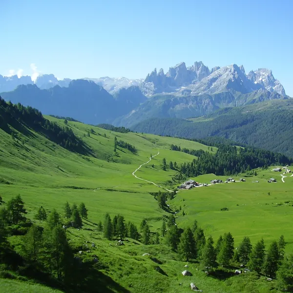
Passo San Pellegrino
Passo San Pellegrino links Moena and Falcade, on the border between Trentino and Veneto. Buses climb to it from both sides; families walk to Fuciade, fitter hikers climb Col Margherita, and traces of the Great War lie around the pass.
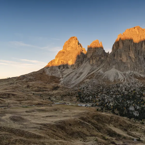
Passo Sella (Sellajoch)
Passo Sella links Val Gardena and Val di Fassa, at the foot of the Sassolungo. You can reach it by bus, on foot or by lift, and it is the start of the Sassolungo circuit and of the Forcella gondola.
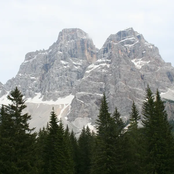
Passo Staulanza
Passo Staulanza opens two very different outings around Monte Pelmo: a short climb to a rock covered in dinosaur footprints, and the full circuit of the massif, a long day for experienced hikers.
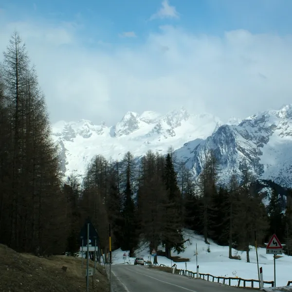
Passo Tre Croci
Passo Tre Croci, between Cortina d'Ampezzo and Misurina, is where the trail to Lake Sorapis begins. You can reach it by summer bus, and two trails climb from here to Rifugio Vandelli.
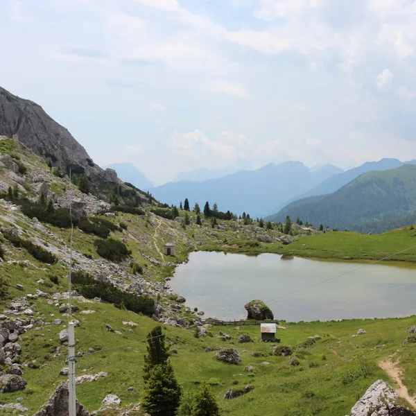
Passo Valparola (Ju de Valparola)
Passo Valparola, two kilometres from Passo Falzarego on the Val Badia side, is home to Forte Tre Sassi, now a Great War museum. You can reach it by bus or car, and trails start here for the Sas de Stria and the Lagazuoi.
No Dolomites passes match your search.
Dolomites Passes - Frequently Asked Questions
Which Dolomites pass is best without a car?
Pick a pass served by a summer bus line: Sella, Pordoi, Campolongo and Gardena around the Sella massif, Giau, Falzarego and Tre Croci from Cortina, Costalunga from Bolzano, Fedaia, San Pellegrino and Delle Erbe from their valleys. Check the 2027 timetables on each pass page. For Duran, Staulanza and Cimabanche, a bus is not guaranteed: ask the operator.
Which passes have a lift at the pass itself?
Three passes have a lift starting right at the pass: Falzarego (Lagazuoi cable car), Pordoi (Sass Pordoi cable car) and Sella (Forcella del Sassolungo gondola). Two more have one too: at Costalunga, a chairlift climbs to Rifugio Paolina; at San Pellegrino, a lift leads to Col Margherita. Opening seasons change every year: see each pass page.
Where can I see Great War remains from a pass?
Start with Falzarego: the positions and tunnels dug into the Lagazuoi make an open-air museum right by the pass. Neighbouring Valparola has the Tre Sassi fort, now a museum, and the Kaiserjäger path follows the old Austrian war road. At San Pellegrino, trails lead to trenches and military posts. At Pordoi, the German military cemetery at the pass holds the graves of soldiers from both world wars.
Which passes suit an easy day walk?
San Pellegrino, for the walk to Rifugio Fuciade or the small lake, two easy outings with children. Duran, for the old mule track up to Rifugio Carestiato. Staulanza, for the farm road to Rifugio Città di Fiume, facing Monte Pelmo. Delle Erbe, where some alpine pasture trails work with a stroller. And Falzarego, for the twenty-minute trail along Lake Valparola to the next pass.
Are pass roads closed on some summer days?
Yes, on certain days two cycling events affect traffic: the Sellaronda Bike Day at Sella, Pordoi, Gardena and Campolongo, and the Maratona dles Dolomites at those four passes plus Giau, Falzarego and Valparola. Their dates are on those pass pages; check with the organisers before heading up on those days. At Passo Rolle, the road to Baita Segantini is closed to cars in summer: see the pass page.
From our partner · 400+ Verified Traveler Reviews
"This trek is magnificent. The itinerary is perfect, and our guide was extraordinary - knowledgeable, attentive, and genuinely passionate about the Dolomites."
"Well-marked trails that avoid the crowded tourist spots, with real elevation changes that keep it interesting. The mountain hut stays were a highlight - the Italian food at every rifugio was outstanding."
"Our guide was super professional. The transportation was seamless, and the family-run hotel was very comfortable - a friendly and safe setting. I would do it again in a minute."
"Excellent itinerary, excellent guide. Every detail was handled perfectly and the route choices were spot on. Would do it again without hesitation."
"A spectacular trek through an exceptional mountain range. The route avoids the most crowded areas and the views are relentless. Be warned - the elevation changes are more demanding than you expect."
"A genuinely engaging trek that keeps you motivated day after day. The variety of landscapes - from green valleys to high rocky passes - is remarkable. Well organized from start to finish."
"I rate this trip 10 out of 10. The accommodation quality exceeded my expectations, and the staff were incredibly attentive - even accommodating my food allergies without any fuss."
"An extraordinary itinerary that lets you discover the Dolomites without overexerting yourself. The route is well-balanced with no technical difficulties, yet you still feel immersed in the high mountains."
"A great discovery for a first group hiking trip. The guide was excellent, the group was friendly, and the autumn weather gave us clear skies over the Dolomites nearly every day."
"A wonderful week in the mountains with an excellent guide who knew every trail and every shortcut. The hut-to-hut format made the logistics effortless - just walk and enjoy."
Decades of Alpine Expertise
Our partner agency has been operating in the Alps for over 40 years. Their team of passionate mountain experts knows every trail, every rifugio, and every season intimately.
Fully Protected Trips
Your investment is safe. We work exclusively with a licensed, bonded, and insured operator. 24/7 assistance and comprehensive travel insurance are included with every booking.
Handcrafted by Locals
No generic packages. Each itinerary is designed by a small team of travel experts who hike these trails themselves. Luggage transfers, dietary needs, and every logistical detail are handled for you.
A Real Team, Not a Call Center
A dedicated team of a dozen specialists is available before, during, and after your trip. You speak directly to the people who designed your route and know the terrain.