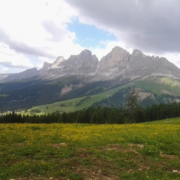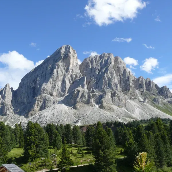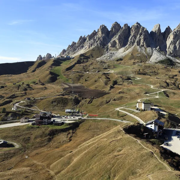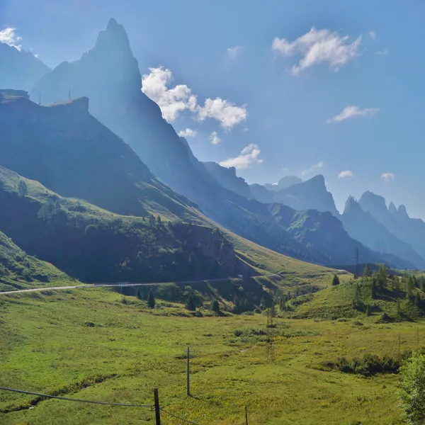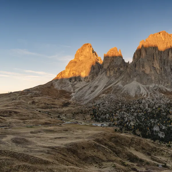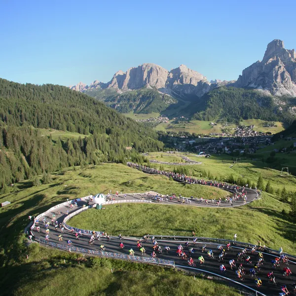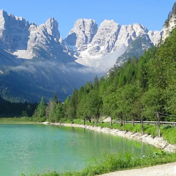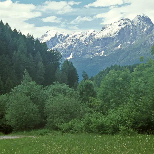
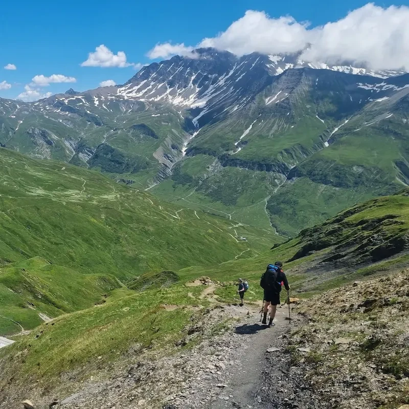
Passo San Pellegrino (San Pellegrino Pass), at 1,922 m6,306 ft, links Moena, in the Val di Fassa, to Falcade. It is a starting point for walks at every level.
Where is Passo San Pellegrino and what can you see from it?
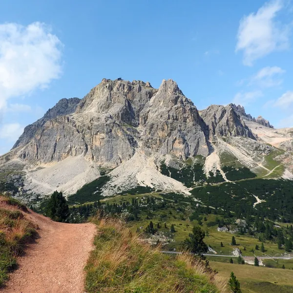
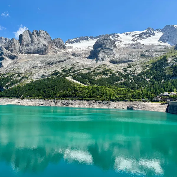
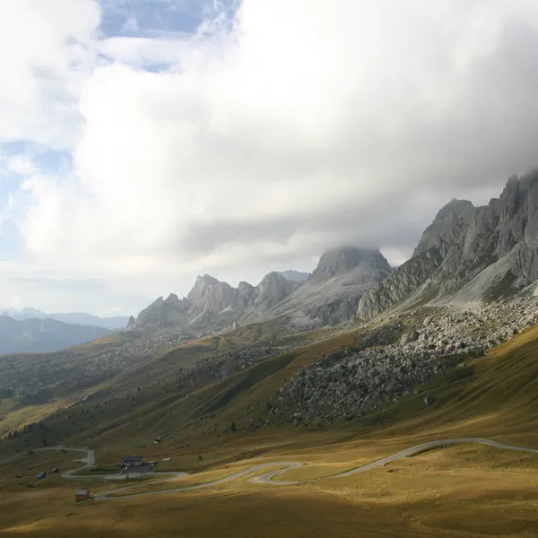
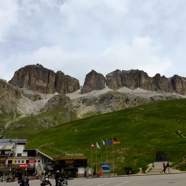
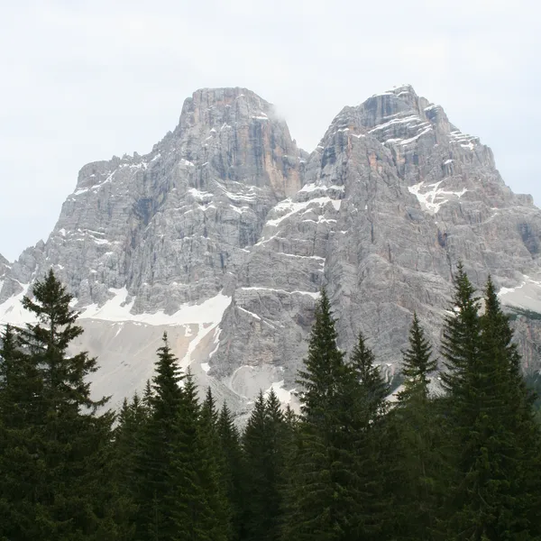
The pass marks the border between Trentino and Veneto, between the ridges of the Costabella on one side and Col Margherita on the other. All around, you recognise at once the outlines of the Marmolada and the Pale di San Martino.
How do you get to Passo San Pellegrino?
By bus, two lines serve the pass:
- on the Veneto side, Dolomiti Bus line 2 (Agordo - Falcade - Passo San Pellegrino) ran from 8 June to 9 September in 2026. Some departures did not run from 3 to 23 August: check yours, and the 2027 dates, on the line 2 timetable (in Italian);
- on the Trentino side, Trentino Trasporti line 123 links Moena to the pass, then continues to Falcade. Check its operating days with the operator.
What can you do from Passo San Pellegrino?
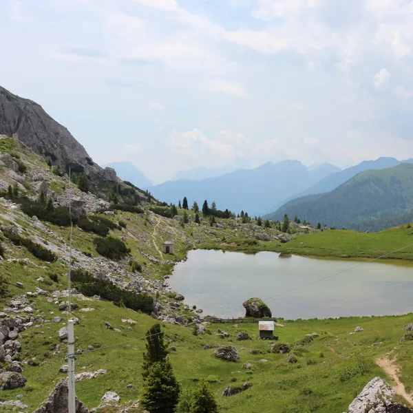
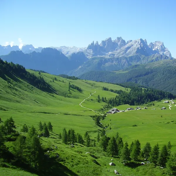
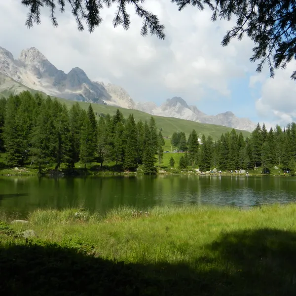
The walk to Fuciade: allow about 45 minutes on foot to Rifugio Fuciade. With children, the small San Pellegrino lake is another easy outing.
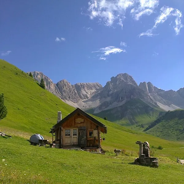
Col Margherita, at 2,513 m8,245 ft, for the panorama. Up there, the Marmolada and the Cima Uomo face you, and the Pale di San Martino rise behind you. On foot, the climb calls for good fitness.
The traces of the Great War: the pass was a battlefield in the First World War, and its trenches and military posts are still there.
When should you go to Passo San Pellegrino?
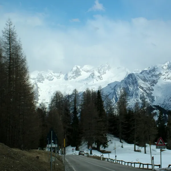
Summer is the hiking season from the pass, and the only one when you can climb Col Margherita on foot. Without a car, plan your day around the season of line 2.
Nearby hiking bases
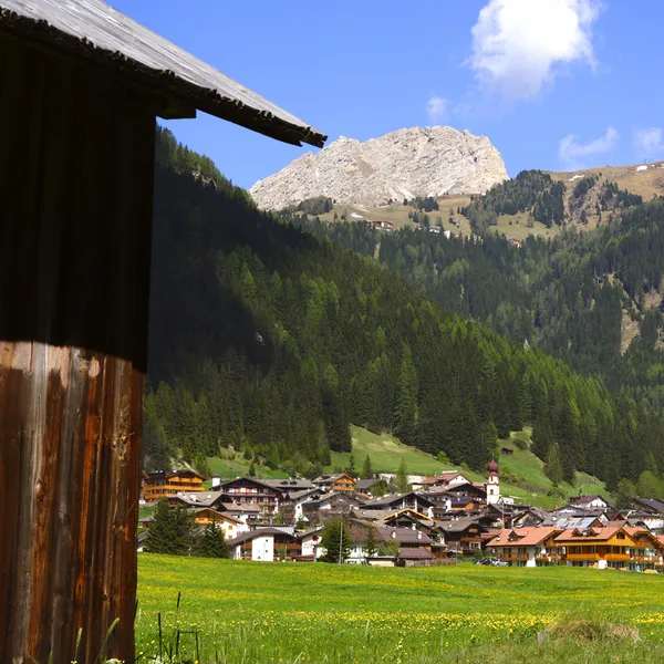
Canazei and Val di Fassa Hiking Guide
A guide to hiking from Canazei and the Val di Fassa: trails on foot, Val Contrin, lifts, summer buses to the passes, Guest Card, which village to pick and when to go.
Updated 20 October 2026
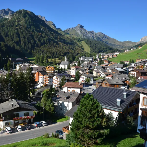
Arabba Hiking Guide
A guide to hiking from Arabba, in the Fodom valley: the Campolongo and Pordoi passes from the village, lifts, the Viel del Pan, summer buses without a car, where to stay and when to go.
Updated 20 October 2026