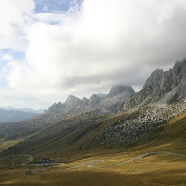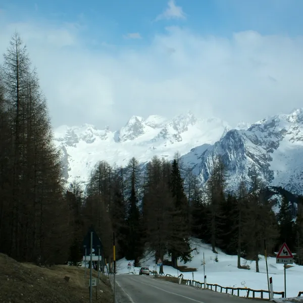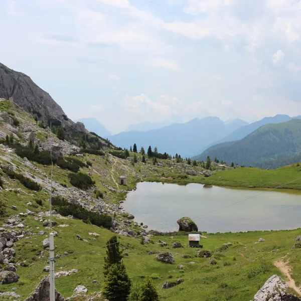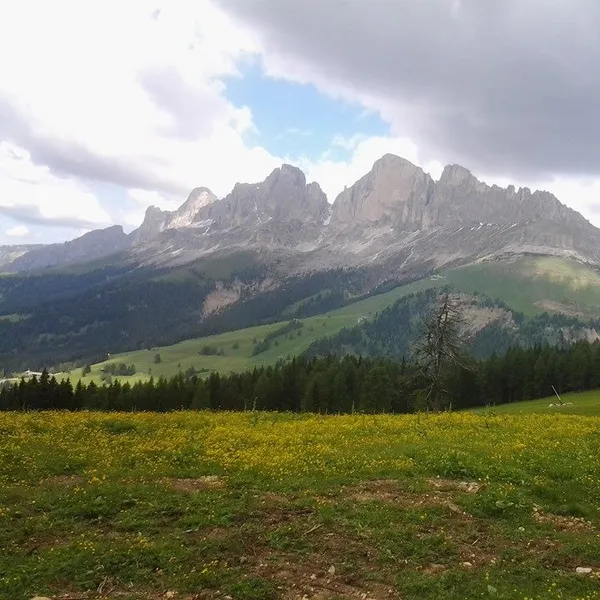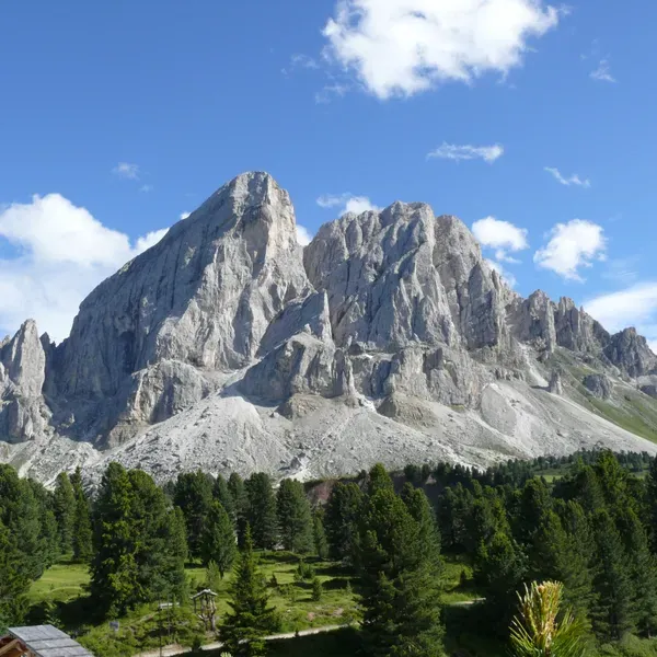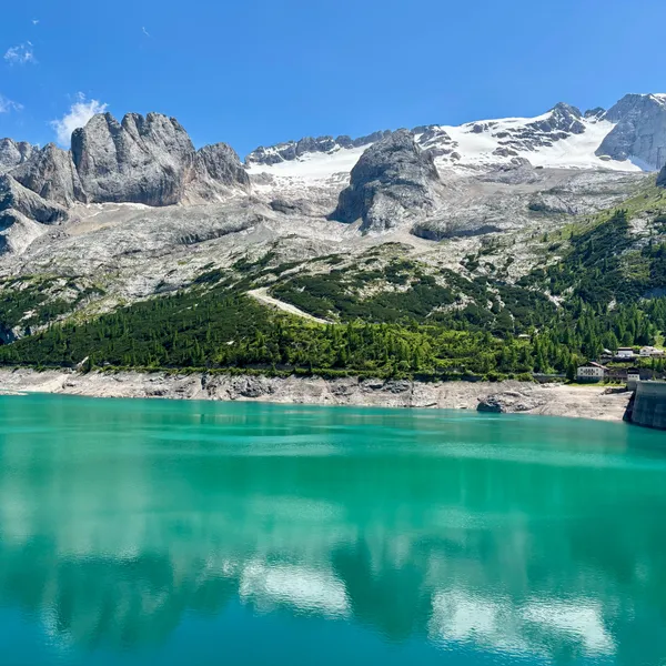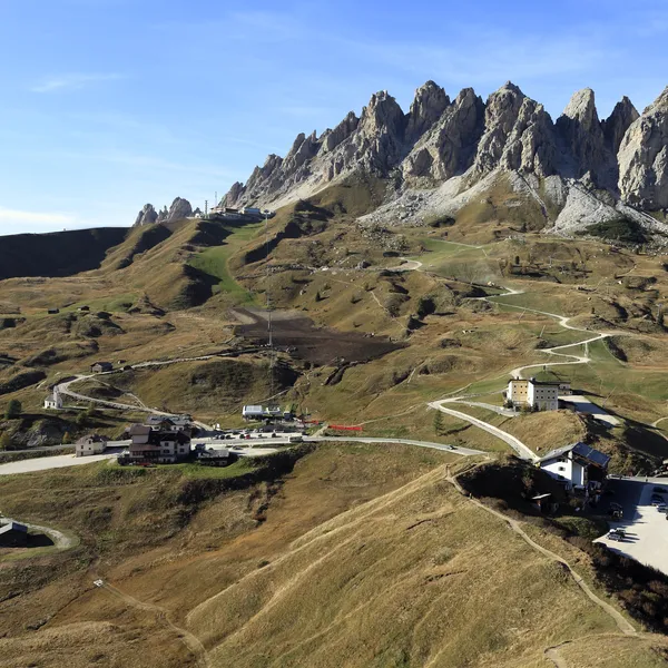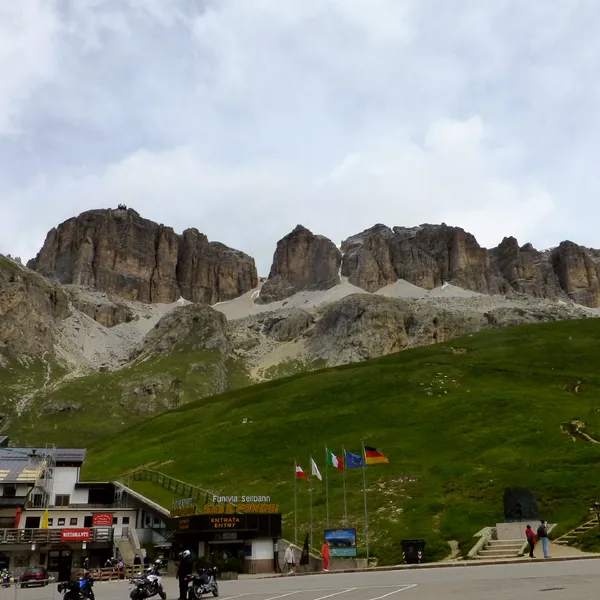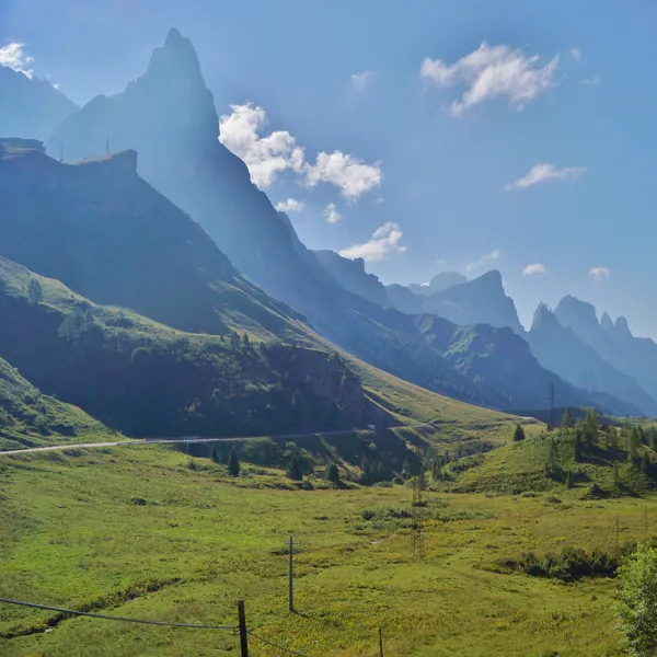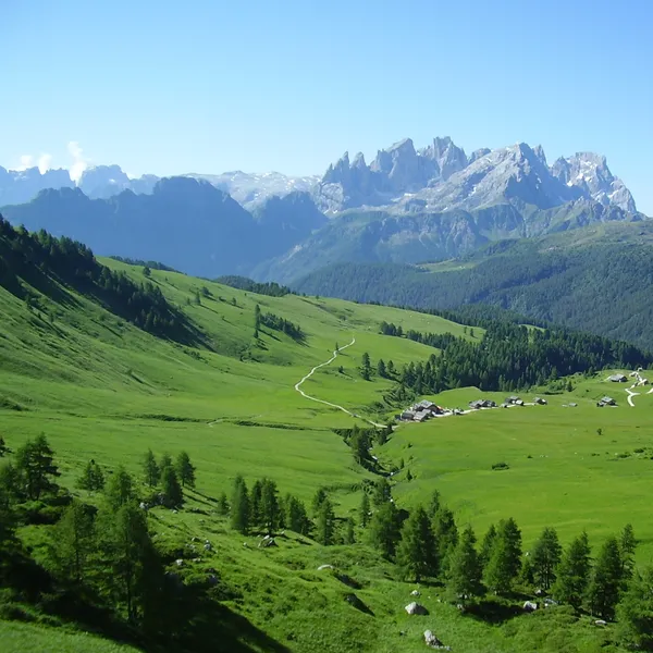
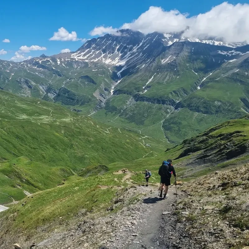
Passo Staulanza (Staulanza Pass), at 1,766 m5,794 ft, is best explored on foot: a short climb to dinosaur footprints, or the full Pelmo hike for seasoned walkers.
Where is Passo Staulanza and what can you see from it?
The pass lies on the SP 251, which links it to Selva di Cadore via the head of the Val Fiorentina.
What can you do from Passo Staulanza?
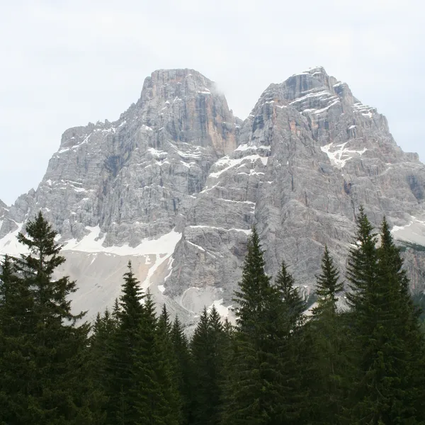
See the north face of the Pelmo head-on: follow the pass road towards Selva di Cadore to the head of the Val Fiorentina, where trail 467, a farm track, climbs to Rifugio Città di Fiume in 45 minutes. It is the easiest outing around the pass.
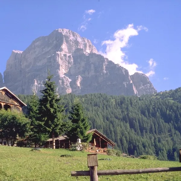
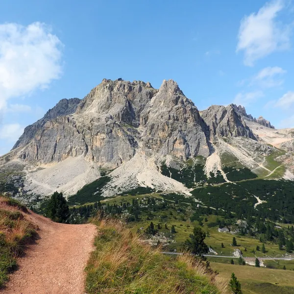
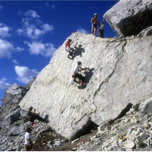
See the Pelmetto dinosaur footprints: from the pass, follow the Alta Via 1 to the foot of the Pelmetto, then the marked detour to a large rock bearing about a hundred footprints, dating from the Late Triassic. Allow 1 hour 15 minutes on foot for 250 m820 ft of ascent. The outing is not tiring, but the last slope is steep, on loose gravel: wear good boots and hold young children’s hands.
Hike around the Pelmo: the Giro del Pelmo leaves the pass on the Val d’Arcia trail, climbs a vast scree and glacier slope to the Forcella di Val d’Arcia (2,476 m8,123 ft), drops to Rifugio Venezia, then rounds the south side of the Pelmo and the Pelmetto back to the pass. Allow 8 hours and 700 m2,297 ft of ascent: the route is graded EE, for experienced hikers.
If the full circuit is too long for you, Rifugio Venezia can also be reached directly from the pass in 2 hours 15 minutes to 2 hours 30 minutes, by an unnumbered link path, then trail 472.
Walk on the Alta Via 1: the route goes through the pass, where Rifugio Passo Staulanza is a stage stop; our Alta Via 1 guide gives the stages before and after. Check that the huts are open before counting on a meal or a bed.
Nearby huts

Rifugio Passo Staulanza
A roadside refuge at the scenic pass between Monte Pelmo and Civetta, serving as a convenient base for day hikes and a key waypoint on the Alta Via 1.

Rifugio Città di Fiume
Tucked into the forests below the immense north face of Monte Pelmo, this intimate refuge is a key overnight stop on the Alta Via 1 and a gateway to one of the Dolomites' most iconic summits.
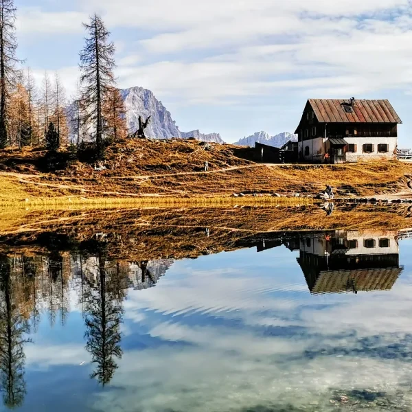
Rifugio Croda da Lago
A beautifully situated refuge on the shore of Lago Federa, one of the most photographed mountain lakes in the Dolomites, beneath the towering Croda da Lago wall.

Rifugio Tissi
A high-altitude refuge clinging to the base of the Civetta north face, one of the greatest rock walls in the Alps and a legendary stop on Alta Via 1.
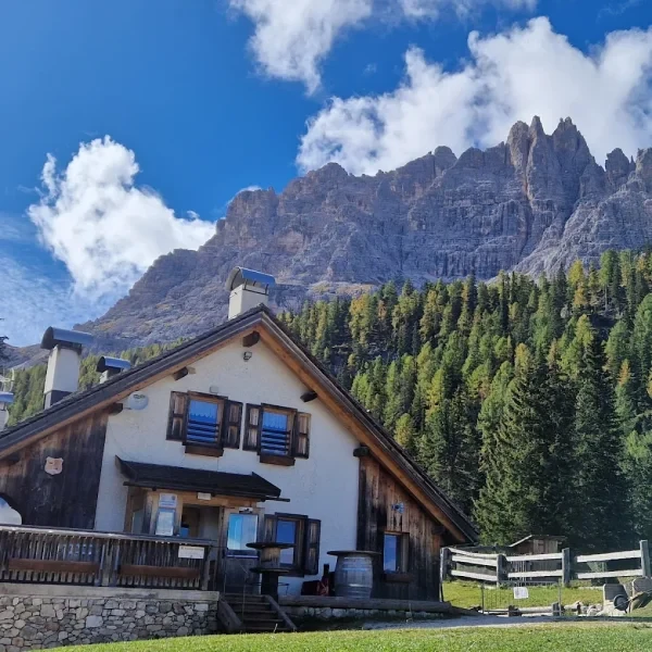
Malga Federa
A tiny alpine dairy farm turned mountain lodge perched above the shores of Lago Federa, one of the most photographed lakes in the Cortina basin.

Rifugio Palafavera
A welcoming refuge at the foot of the Civetta massif, serving as a key starting point for approaches to the north face and routes along Alta Via 1.

Rifugio Pelmo
A small year-round refuge set in the forests below the massive southwest wall of Monte Pelmo, the first major Dolomite peak to be climbed.
Nearby hikes
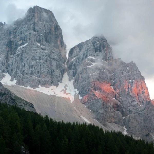
Nearby hiking bases
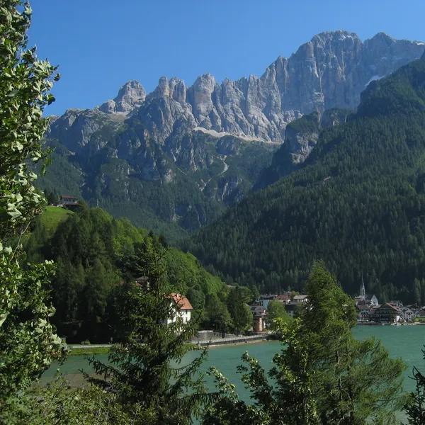
Alleghe Hiking Guide
A guide to hiking from Alleghe, on its lake below the Civetta: the lake loop, the Col dei Baldi gondolas, the Coldai, Tissi and Vazzoler huts, summer buses from Belluno and when to go.
Updated 20 October 2026
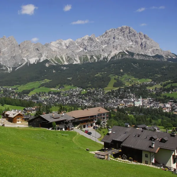
Cortina d'Ampezzo Hiking Guide
A practical guide to hiking from Cortina d'Ampezzo, the main base town in the eastern Dolomites. Covers the best trails, accessible rifugi, transport from Venice, and the right months to visit.
Updated 20 October 2026