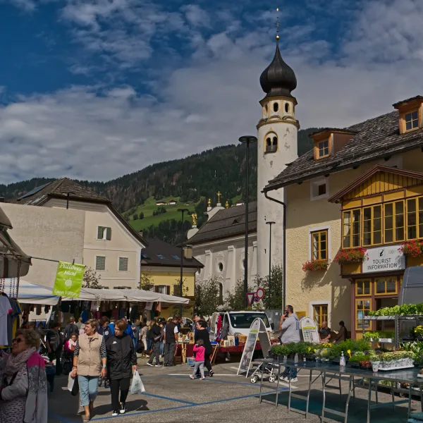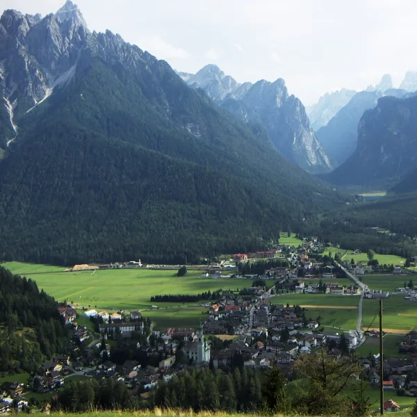
Why is Dobbiaco a great base for hiking the Puster Valley?
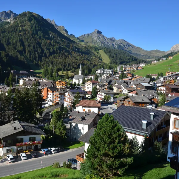
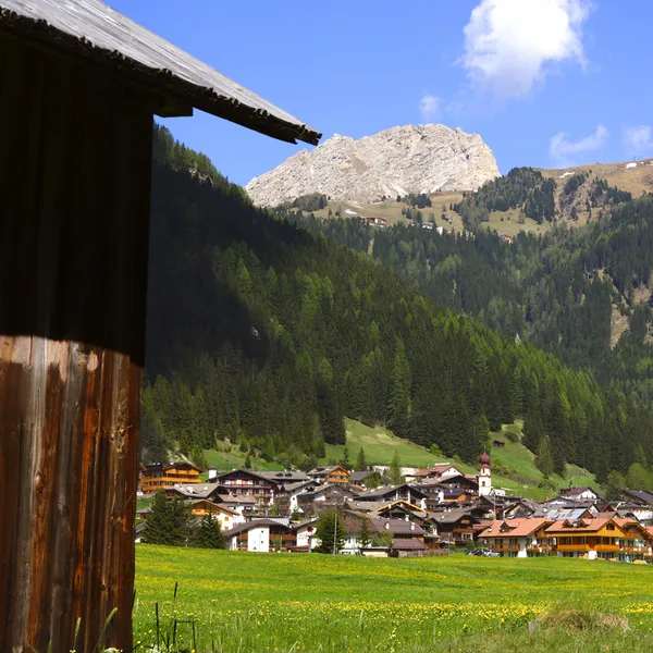
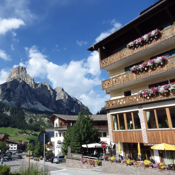
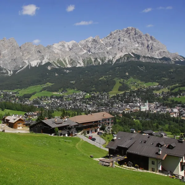
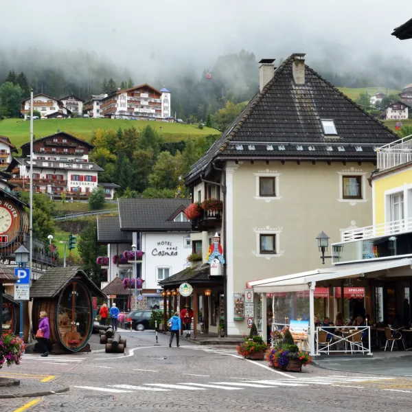
Most first-time visitors to the eastern Dolomites book accommodation in San Candido (Innichen) or drive straight to Cortina d’Ampezzo - and end up paying a premium for both. Dobbiaco (Toblach) sits west of San Candido at around 1,256 m4,121 ft in the broad Puster Valley (Val Pusteria / Pustertal), and it is generally better value than its location and transport links would suggest.
The town is thoroughly bilingual South Tyrolean - street signs, menus, and locals switch between Italian and German without ceremony. You will see the name Dobbiaco on Italian maps and signage, and Toblach on German ones. Both refer to the same place, and searching either term will pull up the same results when booking accommodation. Do not be put off by the lack of a dramatic valley backdrop: the Dobbiaco basin is deliberately flat, which makes it an efficient transit hub rather than a scenic destination in itself. The scenic destinations are within thirty minutes by bus.
How Do You Get to Dobbiaco?
By train: The most reliable way in. Dobbiaco/Toblach station sits on the Puster Valley railway (Fortezza/Franzensfeste - San Candido), which branches off the Brenner main line at Fortezza and continues east to Lienz in Austria via the Drava Valley line. From Bolzano, change at Fortezza/Franzensfeste; the seasonal shuttles to Rifugio Auronzo (line 444) and to Lago di Braies (line 442 during the traffic regulation) are not included in the Südtirol Guest Pass: see below.
By car: From Bolzano, take the SS49 east through the Puster Valley. From Cortina, the road runs via the SS51. Private vehicles become a liability once you are here: the road to Rifugio Auronzo at Tre Cime costs 40 EUR$46 per car on the Auronzo di Cadore scale, can only be driven by online booking, and car access to Lago di Braies is restricted at certain hours in peak season (see dates below). You are better off parking in Dobbiaco and taking the bus.
For full transport options from the major gateways, see our complete Dolomites transport guide.
What Is Lago di Dobbiaco and Is It Worth Your Time?

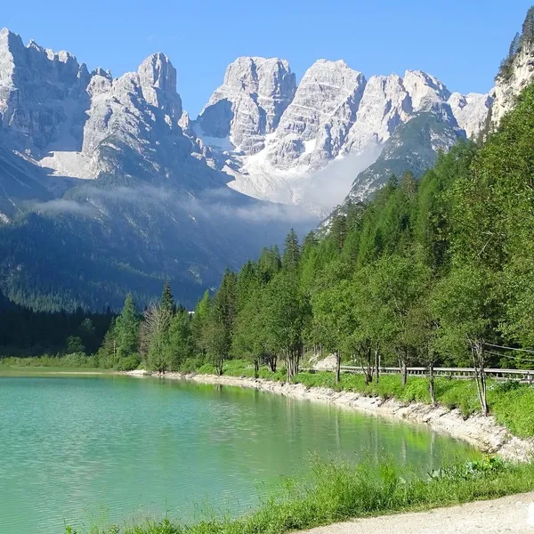
Lago di Dobbiaco (Toblacher See) sits south of the town centre and is accessible on foot or by bike. The lake loop is flat, paved for most of its circumference, and covers 4.5 km2.8 mi - a one-hour walk. It is the only “easy day” hike in the immediate Dobbiaco area and is genuinely family-friendly: the shore path has zero elevation gain and pushchair access.
At dawn or in calm evening light, the reflections of the surrounding spruce forest and the grey Sesto Dolomites are worth the short walk. In peak summer, expect tour groups and cyclists on the shared path. Come before 08:00 or after 18:00 if you want the circuit to yourself.
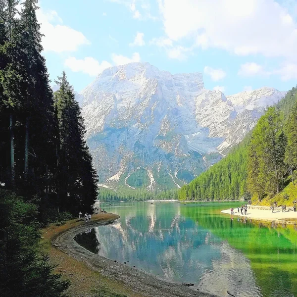
The practical point: this lake is not the destination. Lago di Dobbiaco is a useful half-day option for acclimatisation on your first afternoon, or a recovery walk after a hard day at Tre Cime. If you are specifically targeting lake scenery, Lago di Braies is in a different league - the turquoise water against the near-vertical faces of the Croda del Becco group is an entirely different visual experience.
How Do You Reach Lago di Braies from Dobbiaco?
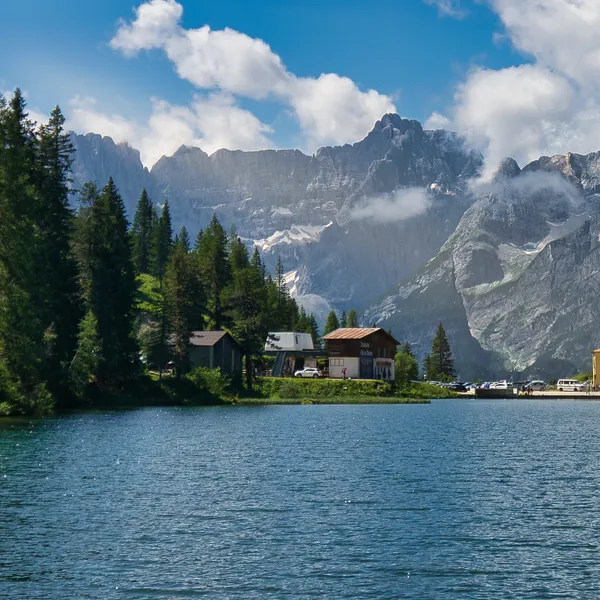
Lago di Braies (Pragser Wildsee) is the most-photographed lake in the Dolomites. Private car access into the Prags valley is restricted from 1 July to 15 September, 09:00 to 16:00 (2026 dates). Outside that window - before 09:00, after 16:00, or outside the 1 July to 15 September dates - private vehicles can reach the valley without a reservation, but a parking space is not guaranteed. During peak season the combined ticket costs 44 EUR$51 and bundles a transit permit, guaranteed parking, and a 22 EUR$26 voucher for the valley’s restaurants and shops - the regulation is due to return in 2027, with details published in spring 2027 on the official Prags valley portal. The reliable way in during the restricted hours is the SüdtirolMobil bus line 442, which runs from the lake to Dobbiaco bus station in about 27 minutes (2026 timetable). Check the current timetable on the SüdtirolMobil app before your trip, as departure times adjust each season.
Once at the lake, the full perimeter loop is on a wide gravel path. The western shore path is the most popular and accessible. For serious hikers, the trail climbs south from the lake toward Rifugio Biella - climbing via the Forcella Sora Forno, but the views back down over the turquoise water justify the effort.
Booking note: Lago di Braies rifugi book up well ahead. If Rifugio Biella is your overnight goal, book early.
How Do You Get to Tre Cime di Lavaredo from Dobbiaco?
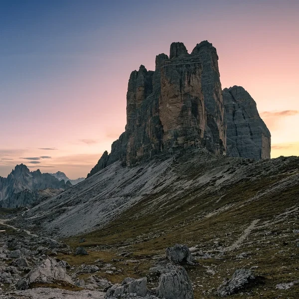
The Tre Cime di Lavaredo (Drei Zinnen) circuit is the most iconic walk in the eastern Dolomites - a 10 km6.2 mi loop around three vertical towers. The standard starting point is Rifugio Auronzo at 2,333 m7,654 ft, reached by a toll road, by online booking only.
From Dobbiaco, the shuttle bus line 444 runs from Dobbiaco to Rifugio Auronzo from 31 May to 11 October in 2026 - eliminating the need for a car entirely. This is the only sensible way to access Tre Cime in July and August. Important: tickets must be booked online in advance, outbound and return (see our access booking guide), and the Südtirol Guest Pass is not valid on line 444 - the shuttle requires a dedicated ticket. Book ahead and arrive at the Dobbiaco stop early.
Once at Rifugio Auronzo, the full loop passes Rifugio Lavaredo and Rifugio Locatelli (Drei Zinnen Hütte). The hut cards below cover the overnight options on the circuit.
Common mistake: hikers from San Candido often assume their town is the natural Tre Cime base. The two towns sit on the same bus corridor and the difference is modest, and Dobbiaco accommodation typically runs cheaper. If you are base-camped in San Candido for other reasons, our San Candido hiking guide covers the specifics.
Which Rifugi Should You Target from Dobbiaco?
The huts within a one-day reach from Dobbiaco span a wide difficulty range, from road-accessible terraces to full-day mountain approaches.
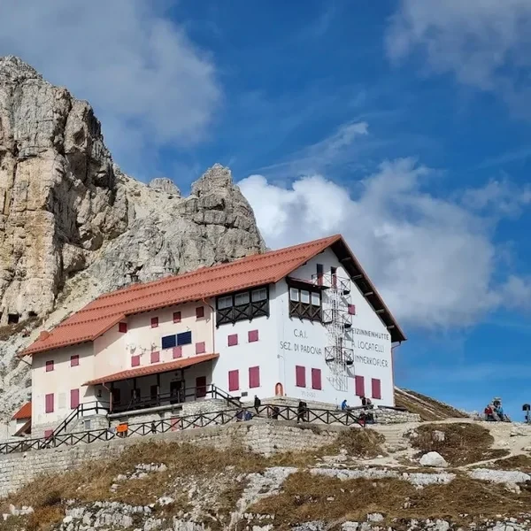
Road-accessible at 2,333 m7,654 ft and a very busy hut. No serious hiking required to reach it (bus or drive), but it is the gateway to the Tre Cime circuit. Book dorms early.
A short walk from Rifugio Auronzo on the Tre Cime loop, far quieter at mealtimes despite the crowds on the trail. Worth a coffee stop or a proper lunch rather than an overnight if you are already on the circuit.
Reached from Lago di Braies over the Forcella Sora Forno. A full day’s effort from Dobbiaco. Smaller and quieter than the Tre Cime huts. Cash strongly preferred.

Gateway to the Fanes plateau, one of the most isolated and least-crowded high areas in the entire Dolomites. A long approach from Dobbiaco, but the Fanes group has the feel of pre-mass-tourism Dolomites.
For a broader overview of the hut system, booking windows, and what to expect from a Dolomites rifugio overnight, see our rifugi guide and the full mountain huts hub.
When Is the Best Time to Hike from Dobbiaco?
The general season rules apply across the region.
Mid-June to late September is the full hiking window. In 2026, Lago di Braies stayed freely reachable by car until 30 June, since the midday restriction published by the Prags valley only started on 1 July. The last week of July and all of August are the most congested: the Tre Cime bus fills early, and Lago di Braies can feel like a theme park by mid-morning.
First two weeks of September is the consistent recommendation for this part of the Dolomites. Crowds drop sharply after the end of August. Nights are cold at altitude in September, so pack a proper mid-layer even for day hikes.
Dobbiaco is also one of the better staging points for exploring the Alta Pusteria (Hochpustertal) valley trails, which see a fraction of the Tre Cime crowds even in August. The hiking map has a useful overview of the full trail network across the eastern Dolomites.

For a calibrated view of the whole season, see our best time to visit the Dolomites guide. If you are comparing Dobbiaco-area hiking with the western Dolomites around Ortisei and Val Gardena, our Ortisei hiking guide lays out the key differences. For the full regional picture, compare all five town bases side by side in our Best Towns for Hiking guide.
Hikes around Dobbiaco
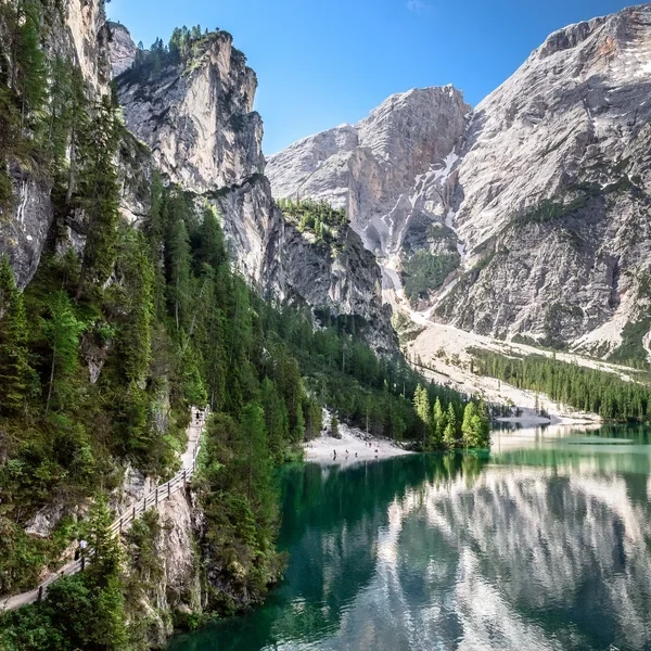
Lago di Braies
Visit the most famous lake in the Italian Dolomites. This guide covers the essential shoreline loop, the easy hike to Malga Foresta, and the 2027 parking and shuttle regulations.
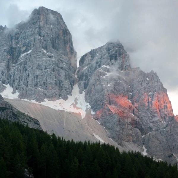
Alta Via 1
The definitive multi-day journey across the heart of the Dolomites. Spanning 118 km73.3 mi of rugged limestone terrain, this classic trek takes you from the emerald waters of Lago di Braies to the historic streets of Belluno, staying in world-class mountain huts along the way.
Tre Cime di Lavaredo Loop
Circle the most iconic monoliths in the Alps. This essential day hike brings you face-to-face with the dramatic north faces of the Three Peaks, traversing high-altitude scree fields in the heart of the Sesto Dolomites.
Huts around Dobbiaco

Rifugio Biella
Set high above the Fanes plateau on a dramatic rocky perch, this mountain hut rewards hikers with sweeping views down to Lago di Limo and across the vast Sennes highlands.
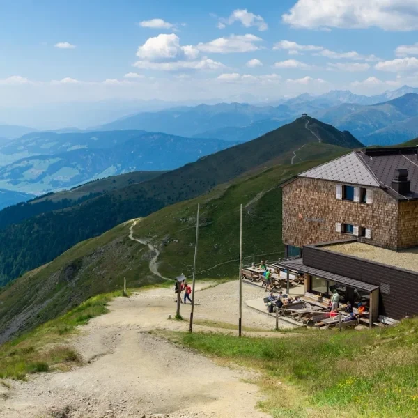
Sillianer Hütte
Perched on the Carnic Alps ridge directly on the Austrian-Italian border, this refuge commands sweeping views in both directions and serves as a key stop on the Carnic High Trail.
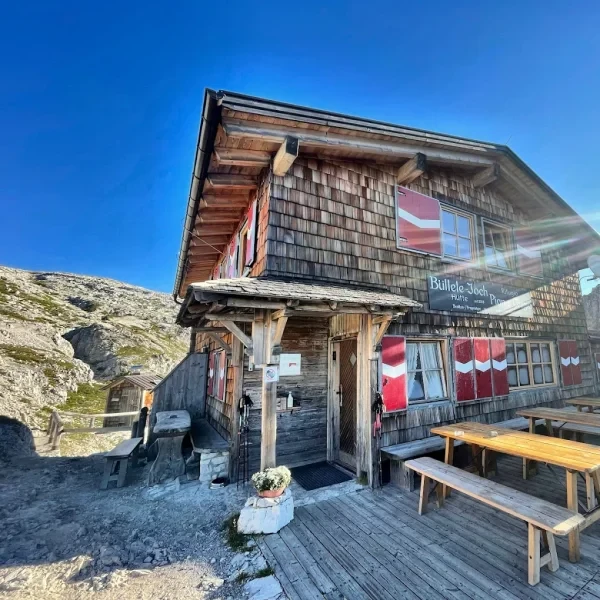
Rifugio Pian di Cengia
The highest refuge in the Tre Cime area, this intimate mountain hut rewards hikers with a challenging approach and unmatched panoramic views from its lofty perch at 2,528 m8,294 ft.
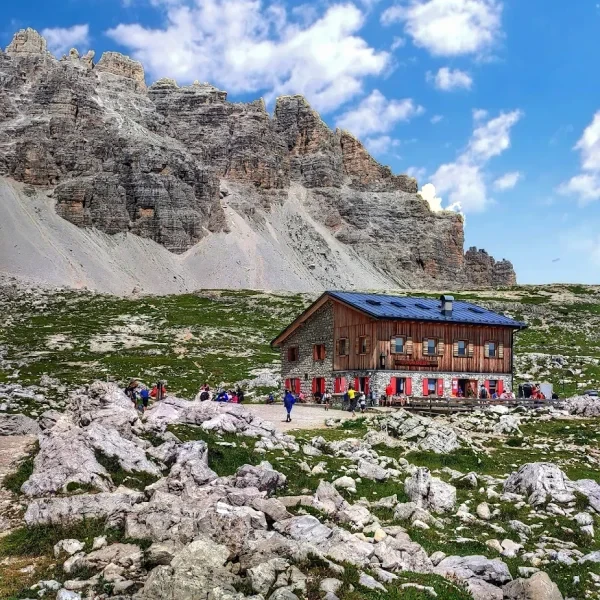
Rifugio Lavaredo
Sitting on the quieter northern side of the Tre Cime loop, this historic refuge offers front-row views of the iconic three towers without the crowds of the toll road side.